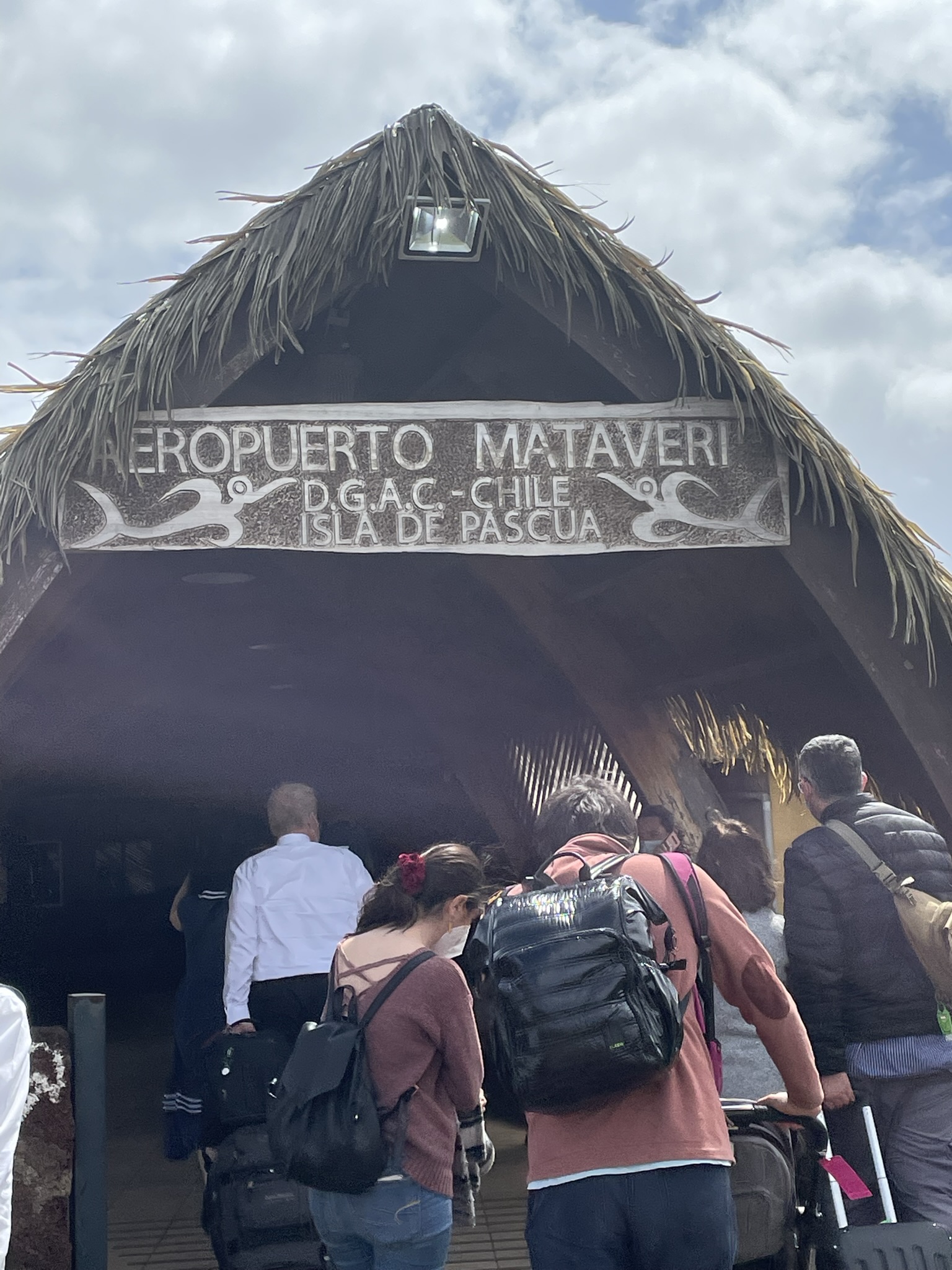
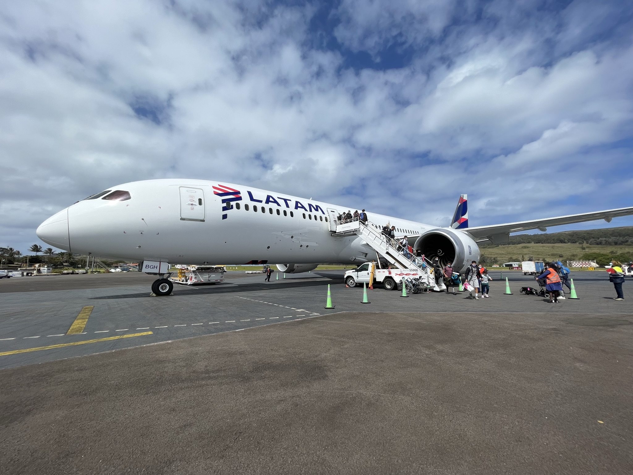
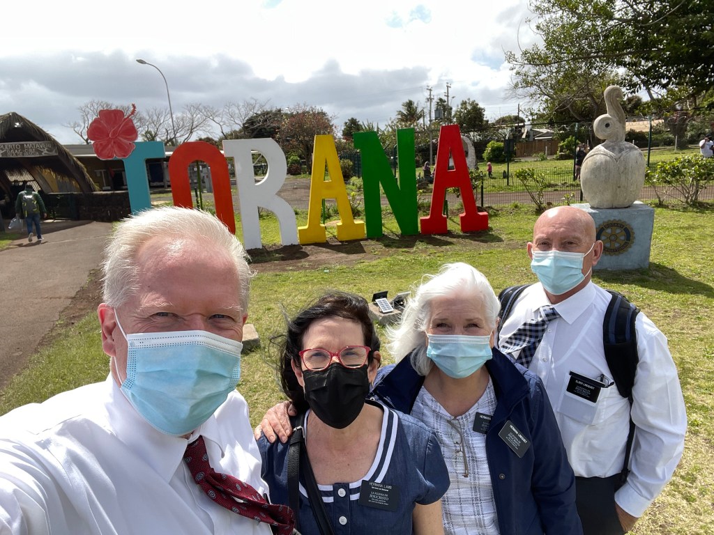
On Monday morning the Lambs and the Lindquist’s flew 2,300 miles west of Chile to the remote island of Rapa Nui. The five-hour flight brought us to the easternmost point of the Polynesian triangle. In Spanish it is called Isla de Pascua. It became a Chilean territory in 1888. It was named Easter Island by the Dutch explorer Jacob Roggeveen who first spied it on Easter Day 1722. It is the most remote inhabited place on earth and has more than 7,000 inhabitants today.


Brother Hugo Richard Tuki Jimenez was our tour guide. He was born on Easter Island. He lived in Argentina and mainland Chile before he returned to the island ten years ago. He is a counselor in the branch presidency and was the perfect tour guide. It is a requirement to have a native islander with you to enter the national parks which make up over 40% of the island.
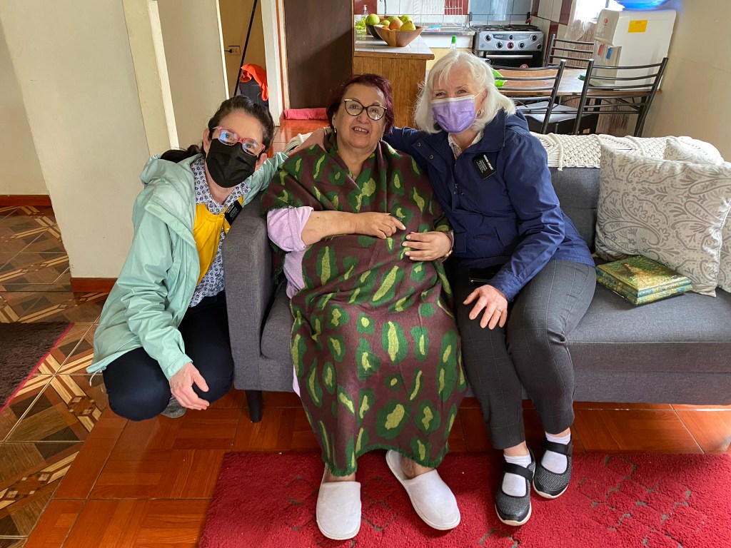
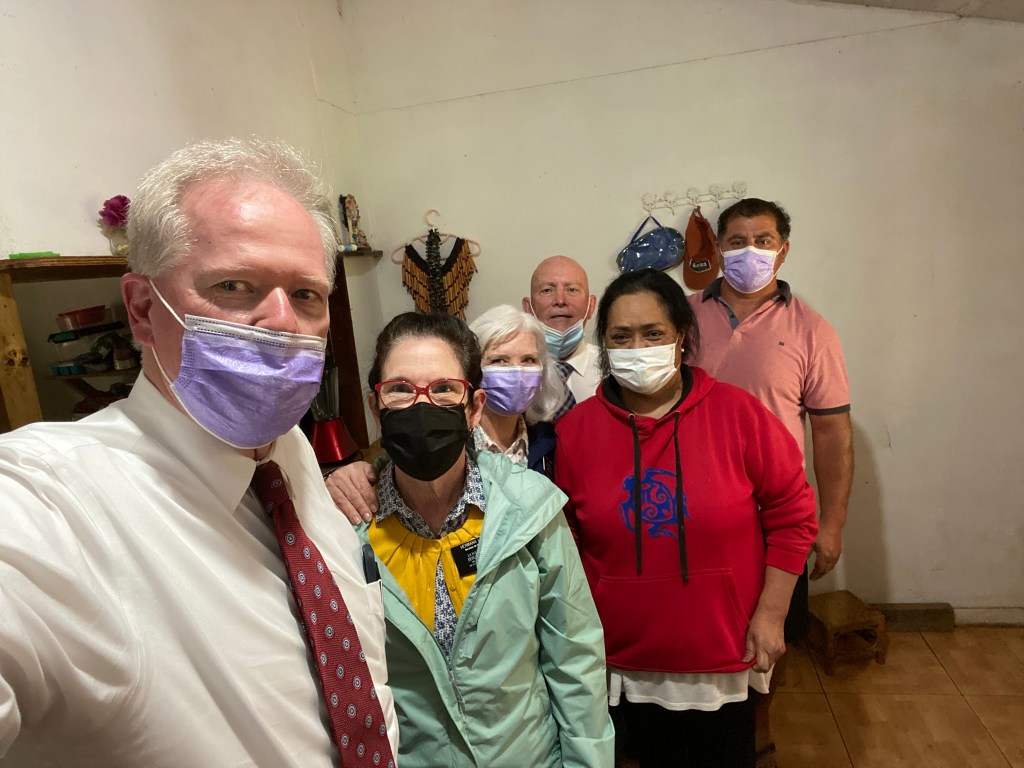
We wore different hats this week. We spent two days as tourists soaking up the unique history and culture of Easter Island, and then two days as missionaries, meeting the people in their homes and sharing heart-to-heart with them.
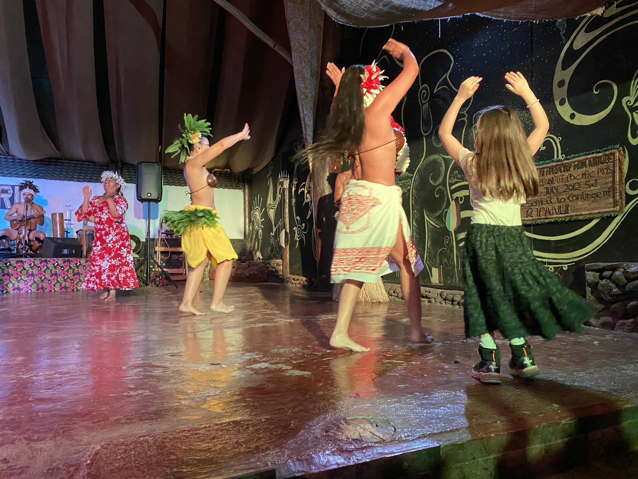
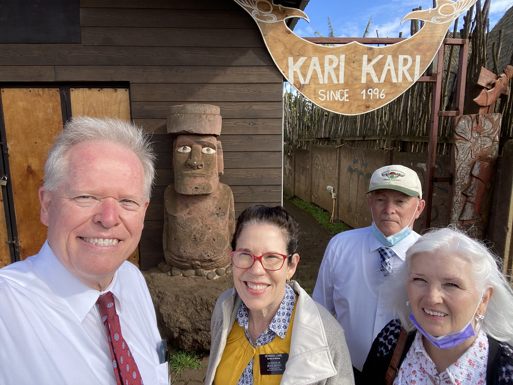
On our first evening, we attended the Kari Kari Cultural Ballet. We had front-row seats to this Polynesian dance show.


DAYS 1 & 2
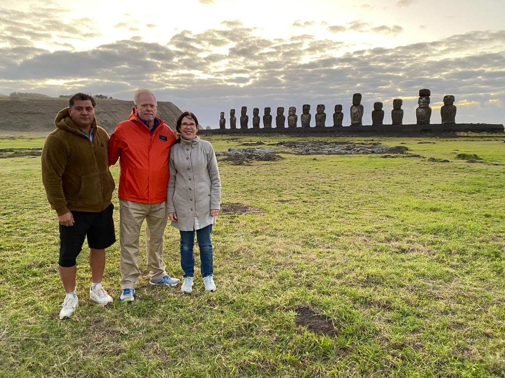
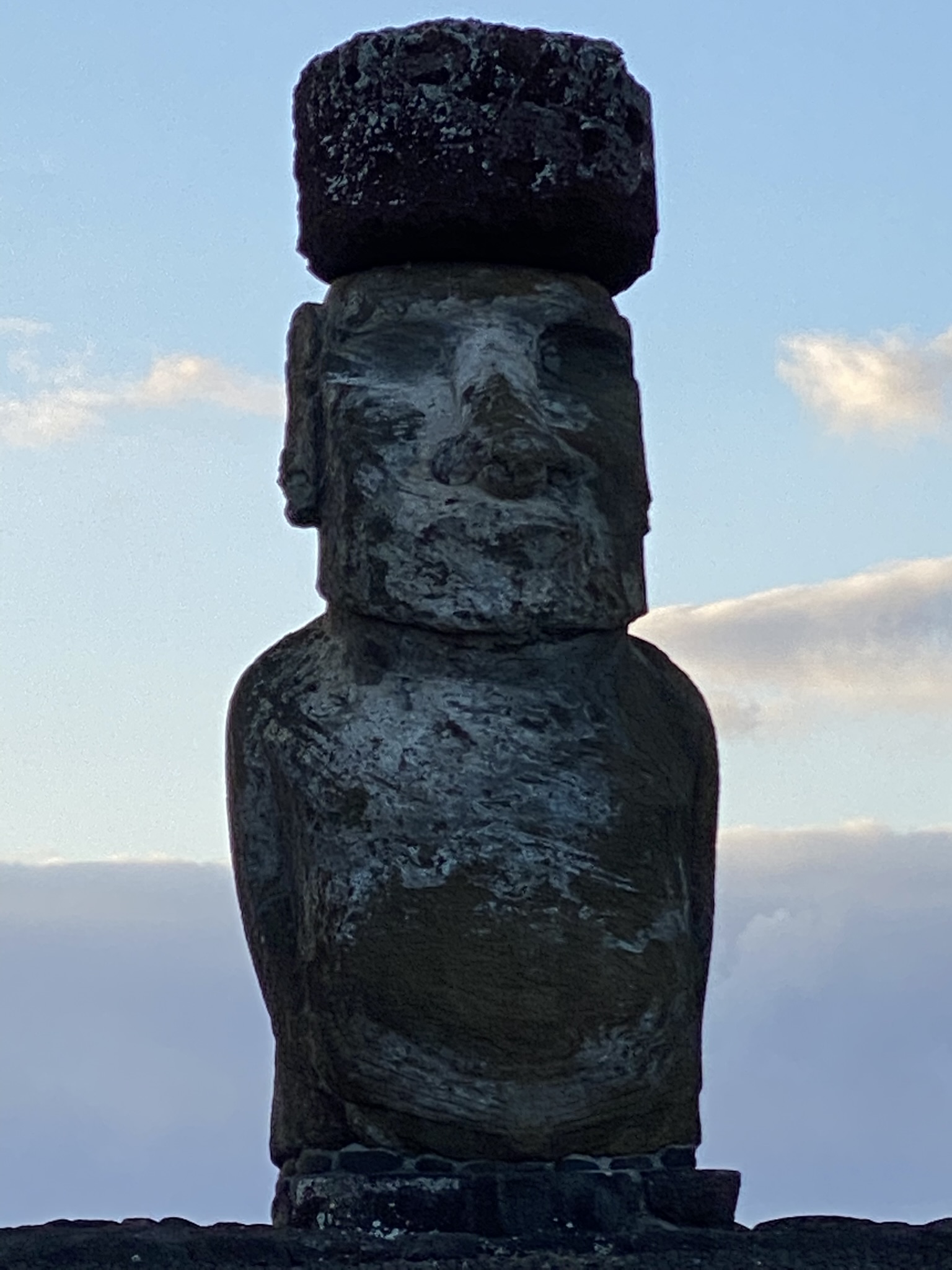
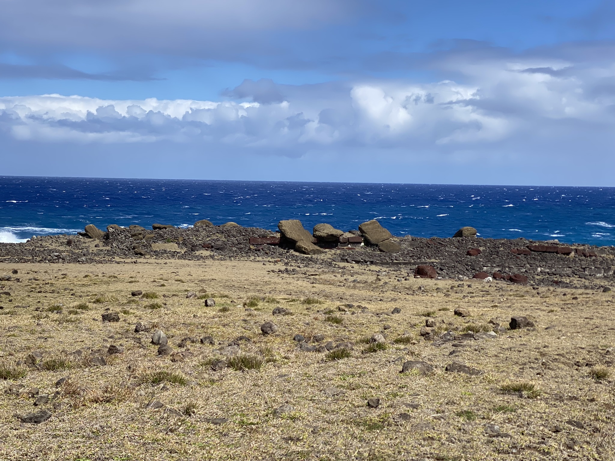
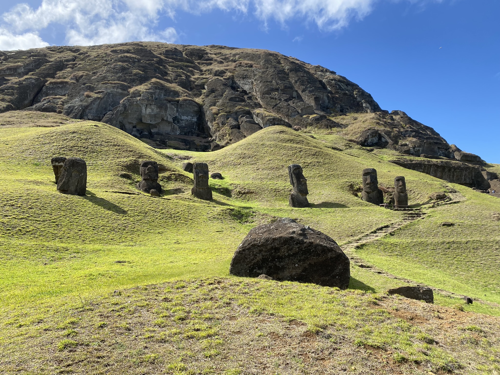
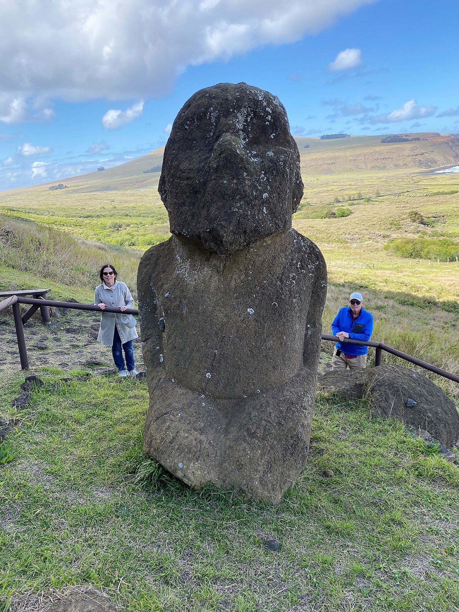
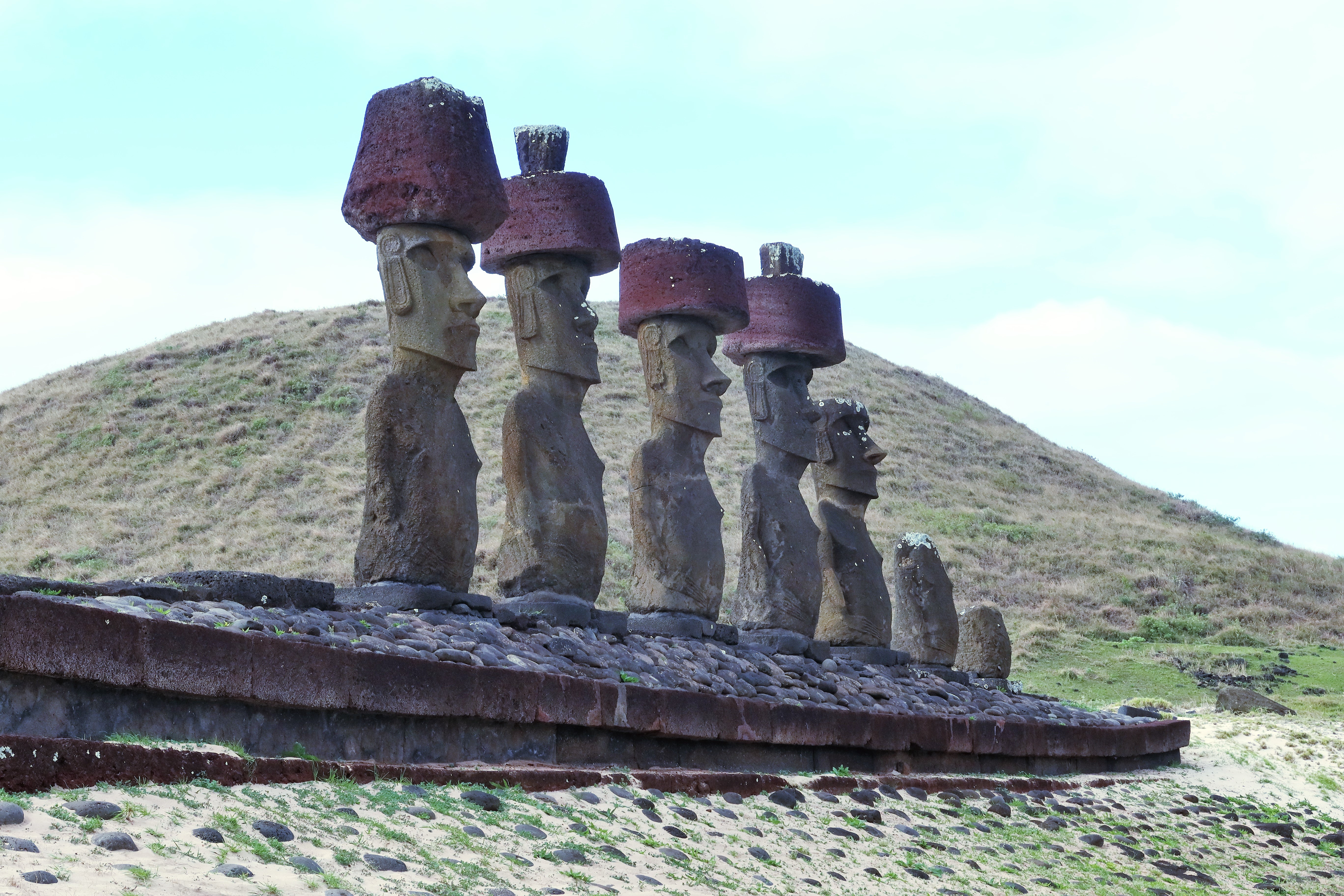
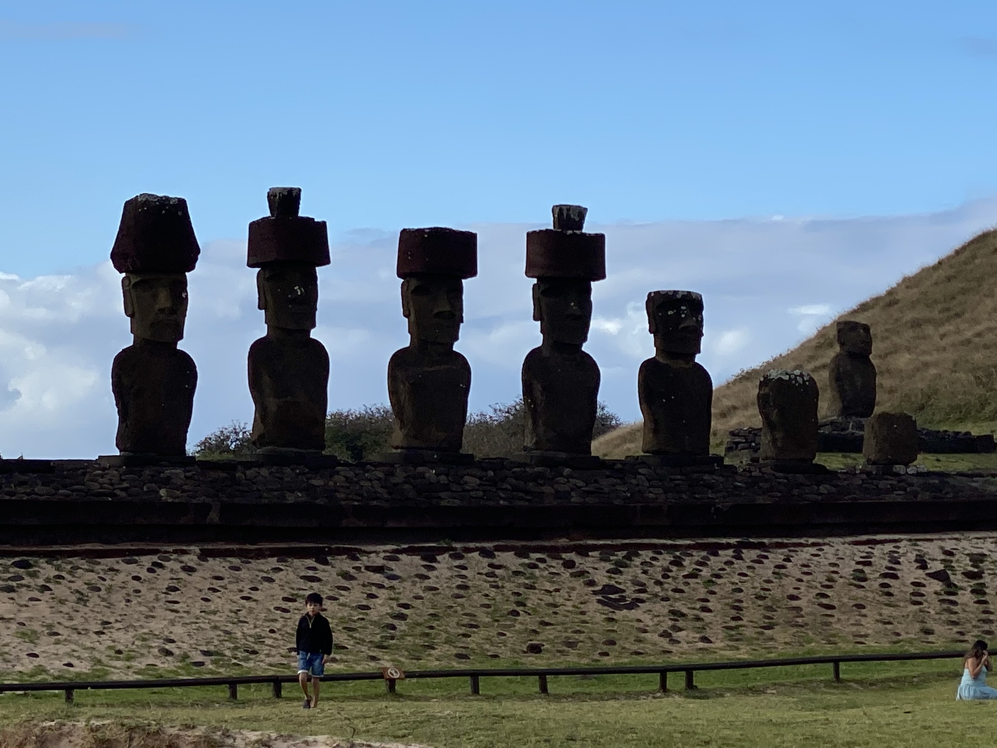
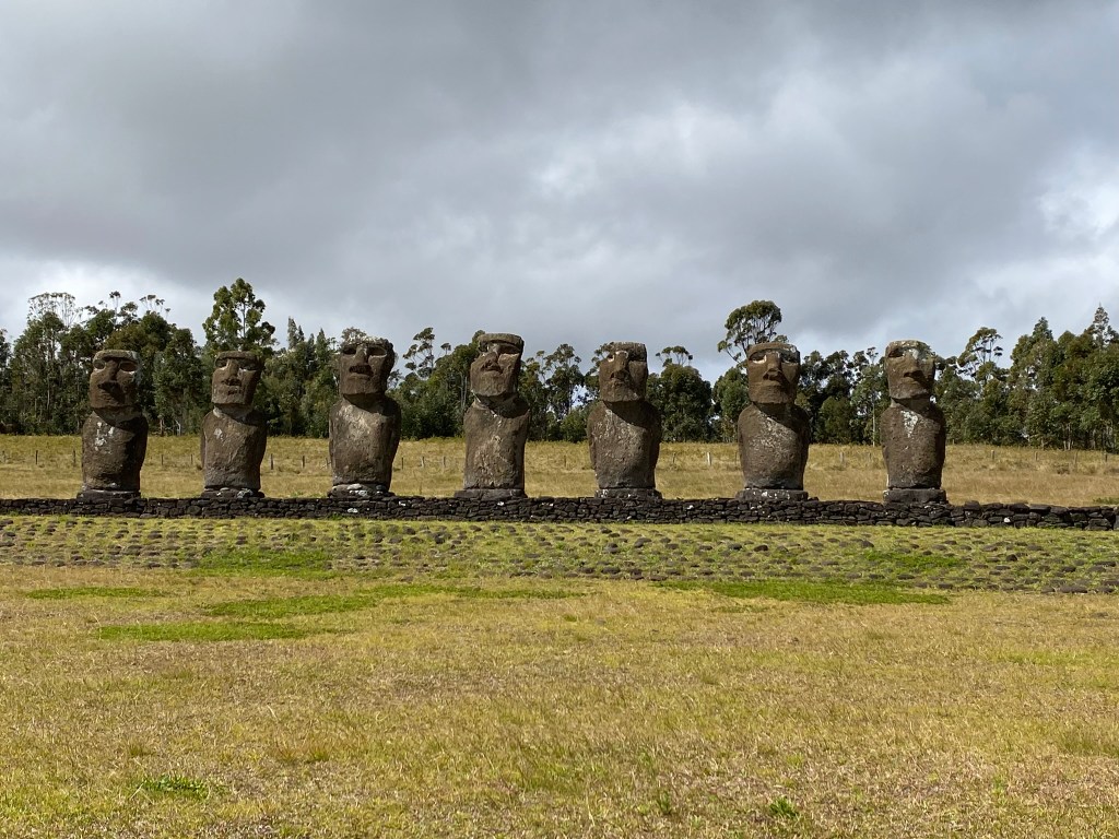
We watched the sunrise over the 15 Moai at Ahu Tongariki. This moai platform was re-erected to its traditional position after a tsunami knocked them over in 1960. These stone statues were not objects of religious worship but established visibly the ancestry of each family as well as demonstrated the power of a clan. The statues stood atop family burial grounds. We felt a very special spirit here. It felt like a sacred spot. Moai is pronounced (moe-eye). There are 887 Moai registered on the island.

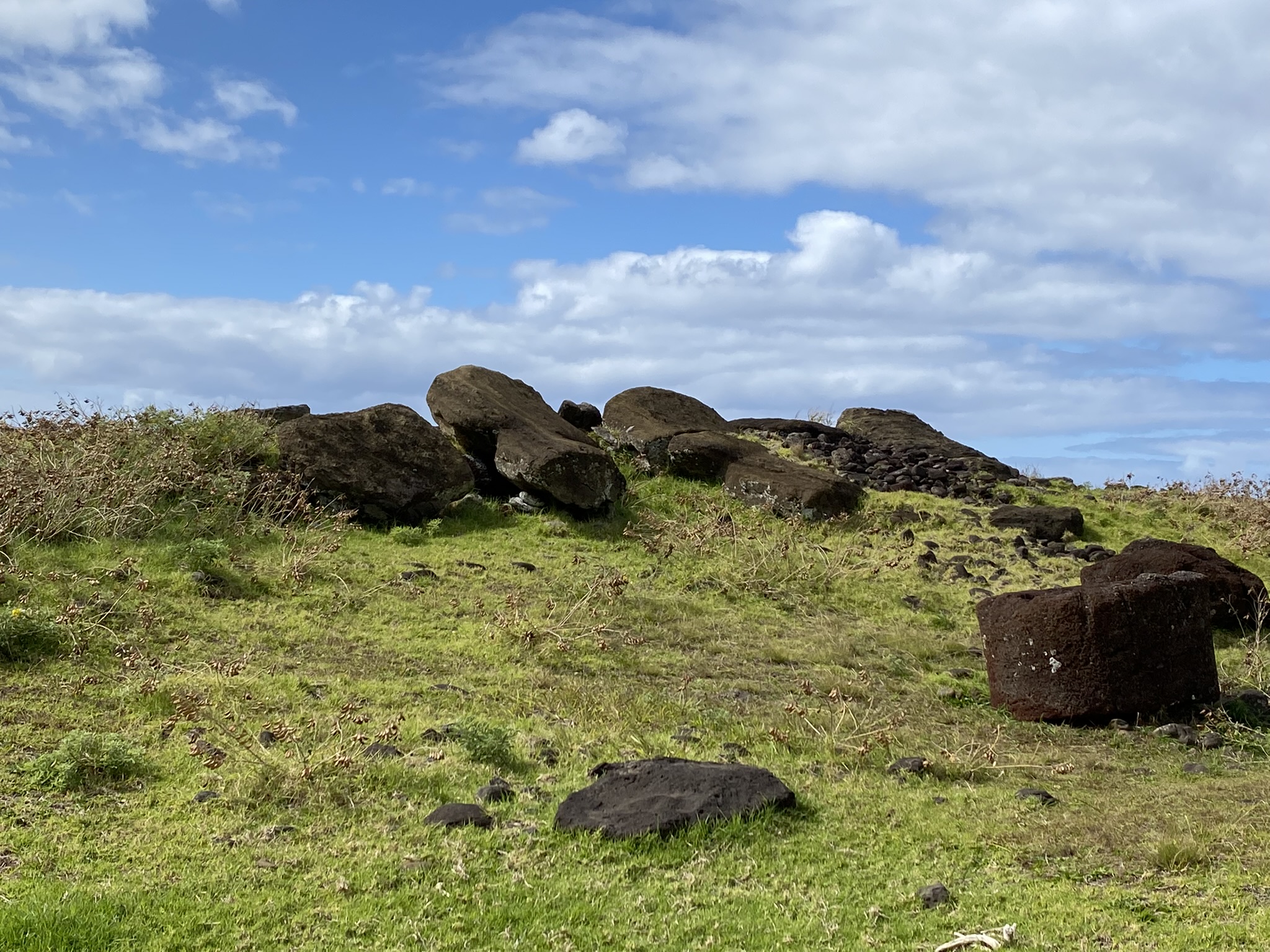
At Akahanga we saw the remains of a village with toppled moai. There was a heavy feeling here. At least 12 different clans lived on the island with approximately 12,000 people in each. The toppled moai are proof of the warring between clans. Tradition says that in one battle every person but one in this clan was killed here. The increasing need to demonstrate power and prestige through the Moai eventually led the clans to dispute resources like food and water. Deforestation also led to the demise of this civilization. The palm trees were cut down to move the large stones from the quarry sites to the various burial platforms around the island.

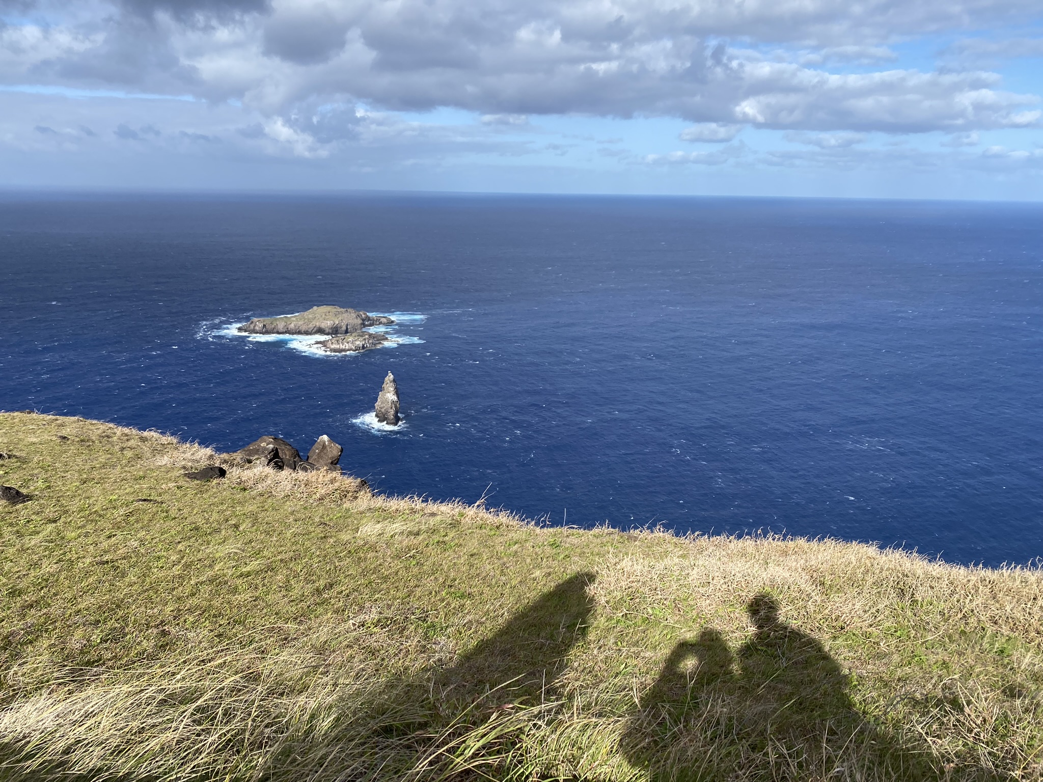
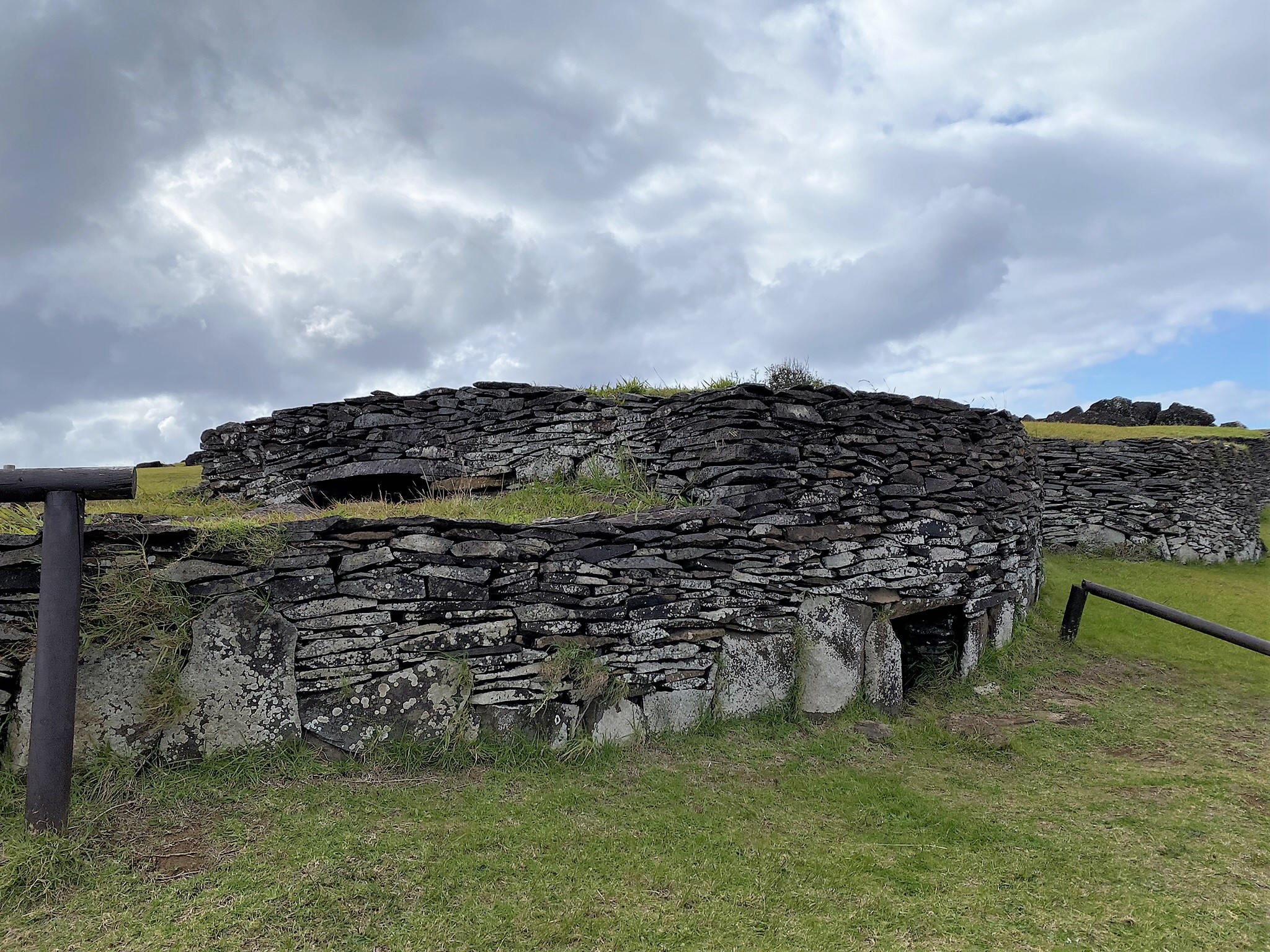
Orongo Village is located on top of a windy hill on the rim of the Rano Kau volcano. Over 50 homes made of layers of flat stones line the hillside with small entrances that one would have to crawl through to access the home. They were all connected inside. Here the ancient Birdman competition was held. This contest would pit representatives from each village on the island against each other in a dangerous climbing and swimming match to one of the offshore islands. The goal- to collect the first bird egg of the season. The winning tribe would then be granted rulership over the entire island for the following year.

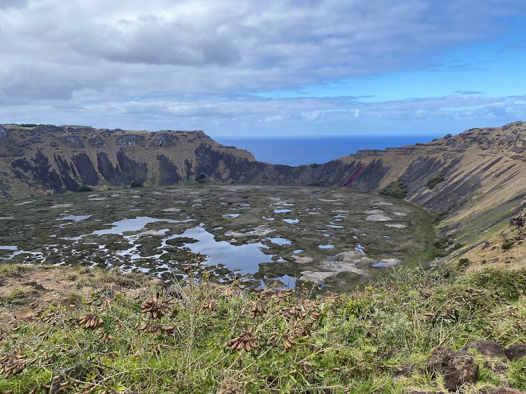
We walked around the rim of the Rano Kau Volcano and enjoyed the beautiful views. This amazing crater holds a beautiful freshwater lagoon.
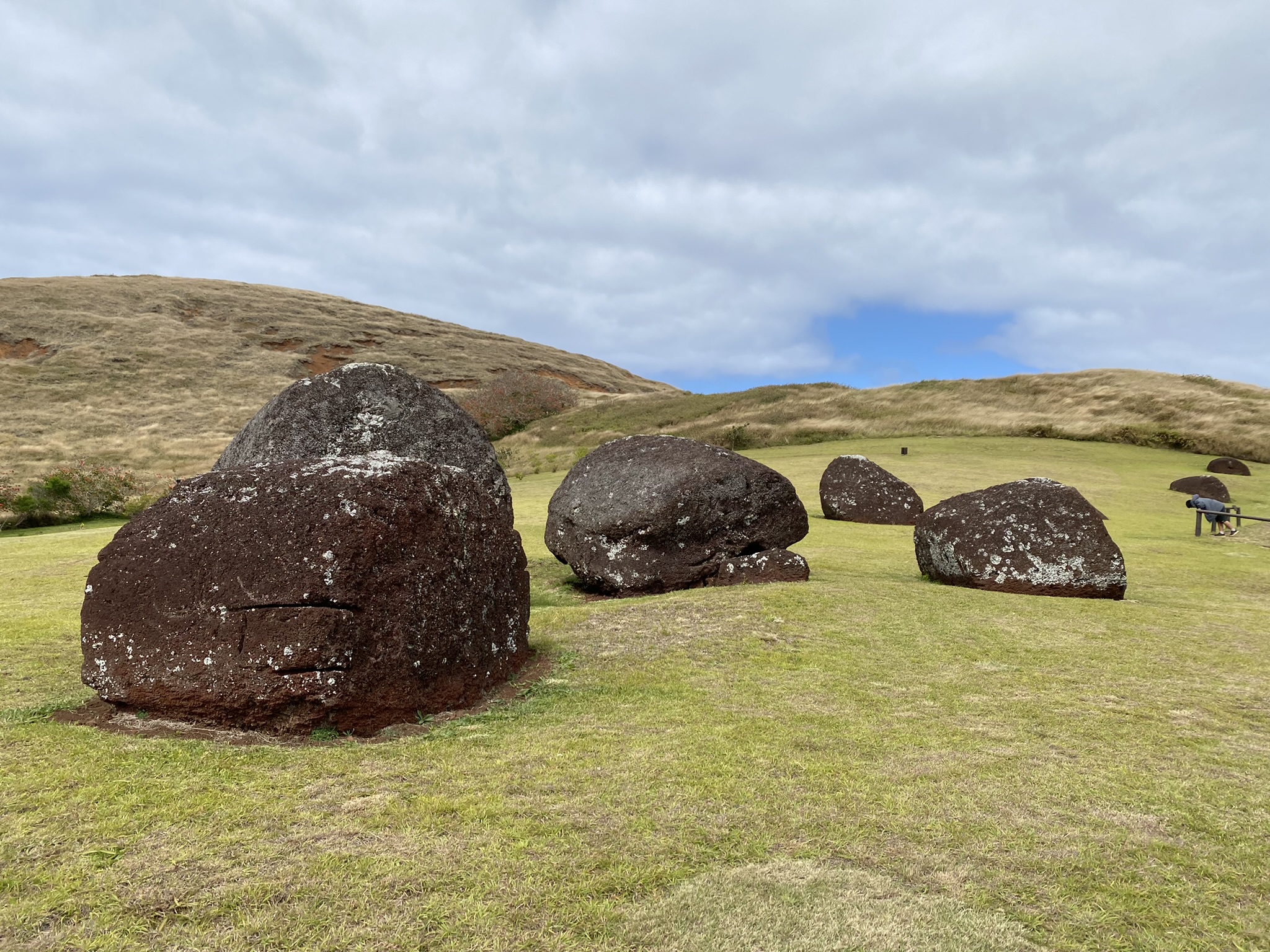
At Ahu Vinapu we found massive blocks of stone carved so intricately and pieced together so tightly that you can’t even insert a butter knife between them, and they are perfectly level.

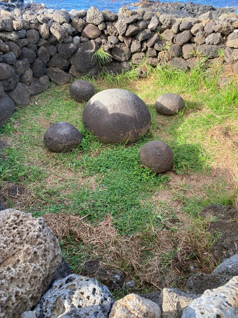
Puna Pau– the top knot quarry. Some of the moais found around the island have large red pieces of stone on their heads representing the hair or top knots of the people. We investigated the quarry and saw many pukaos that never made it to their destination.

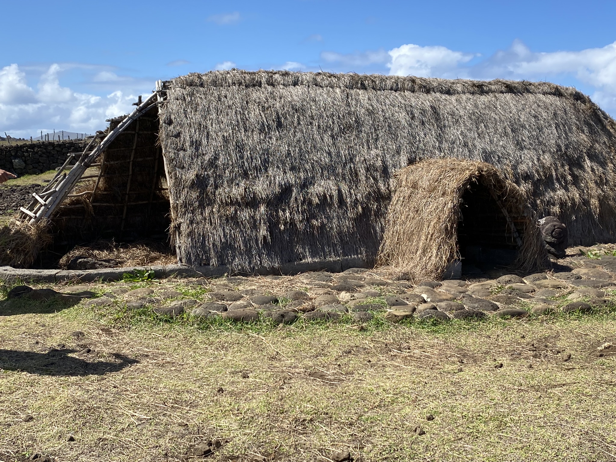
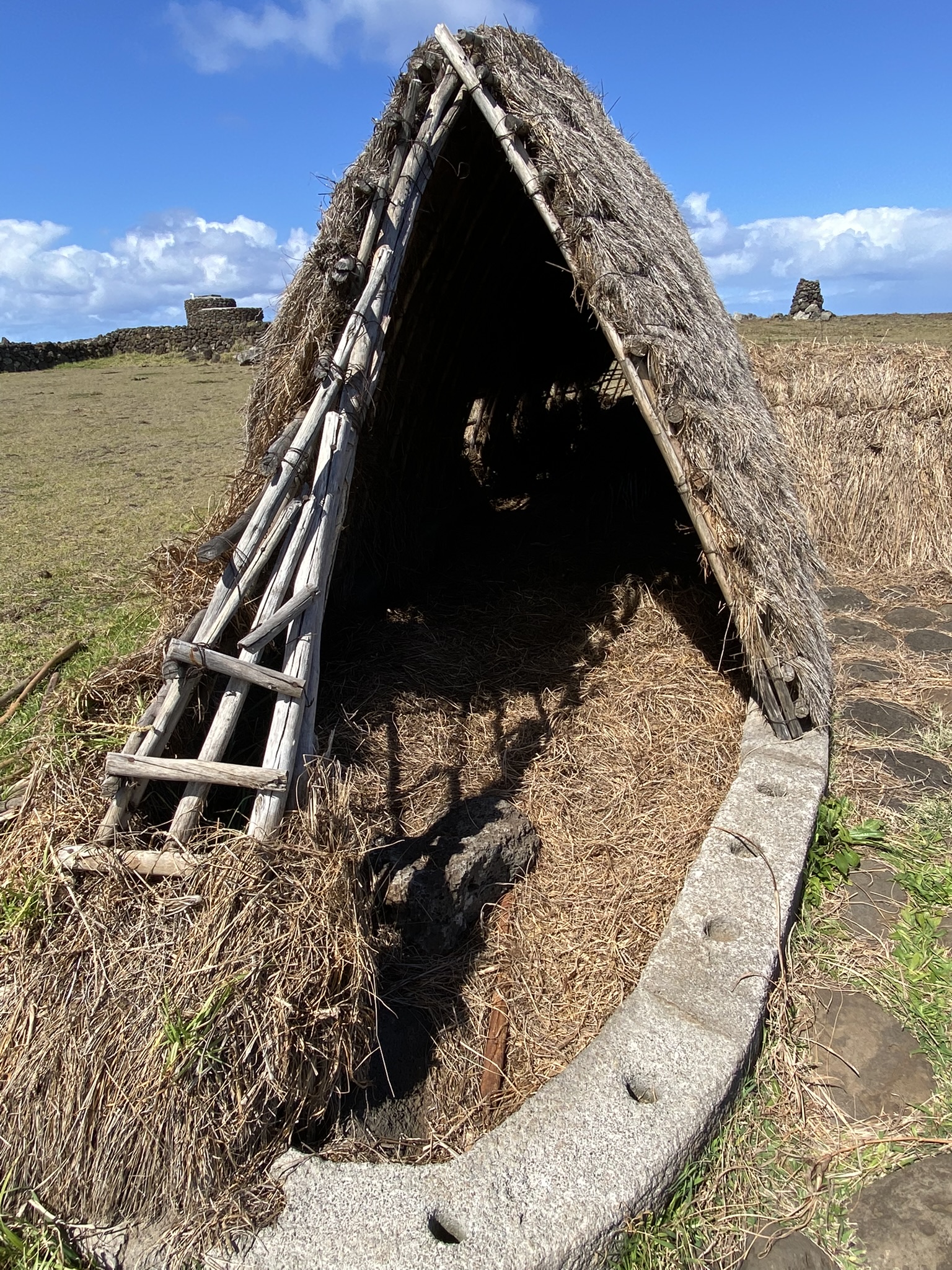
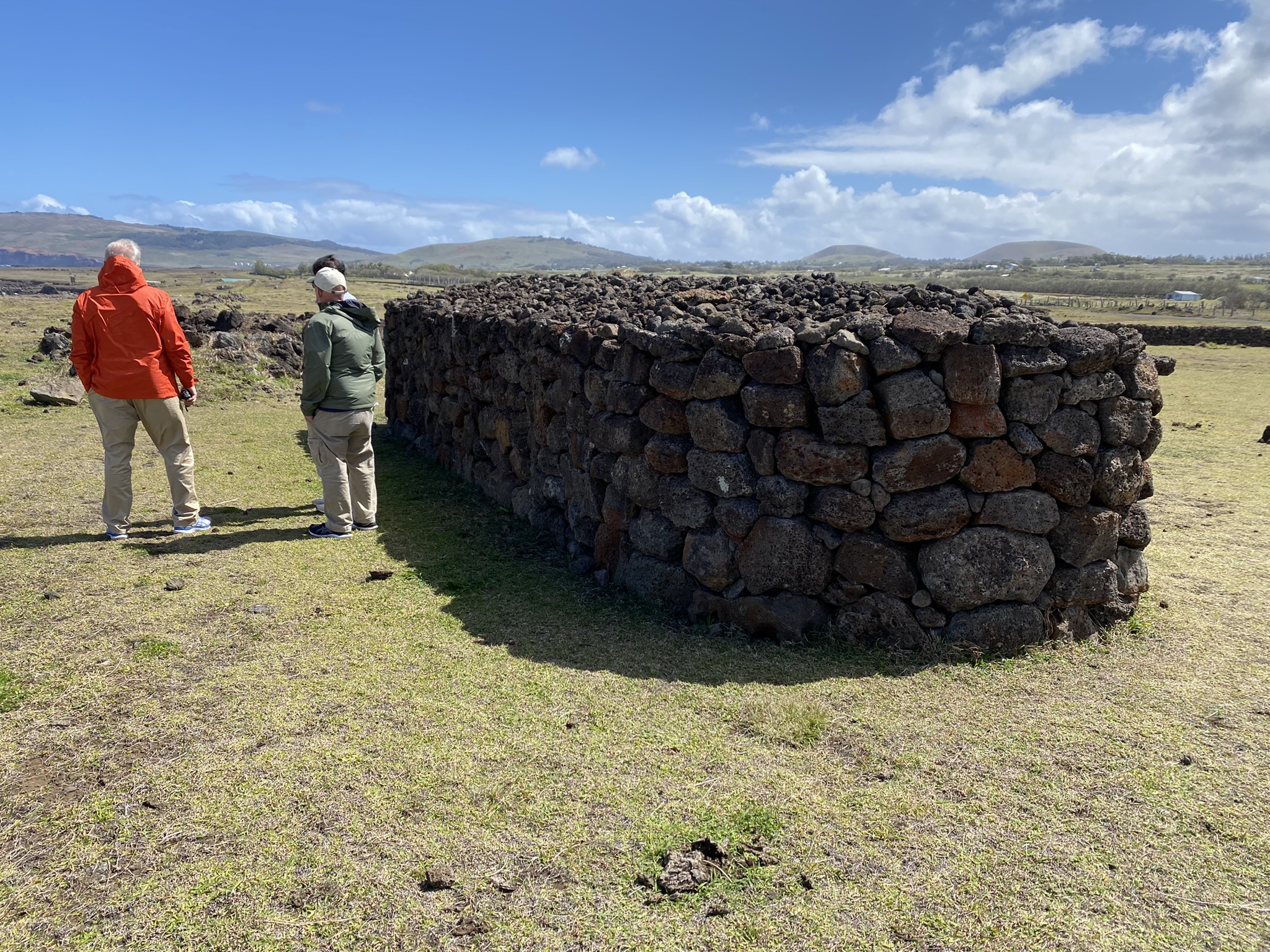
Puka Manu Mea- a partially reconstructed village to show beachside homes made of grass, refrigerator pits, chicken coops, and rock enclosed gardens.


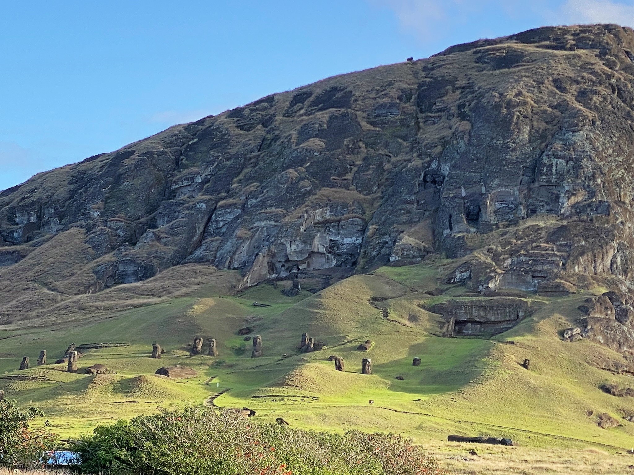
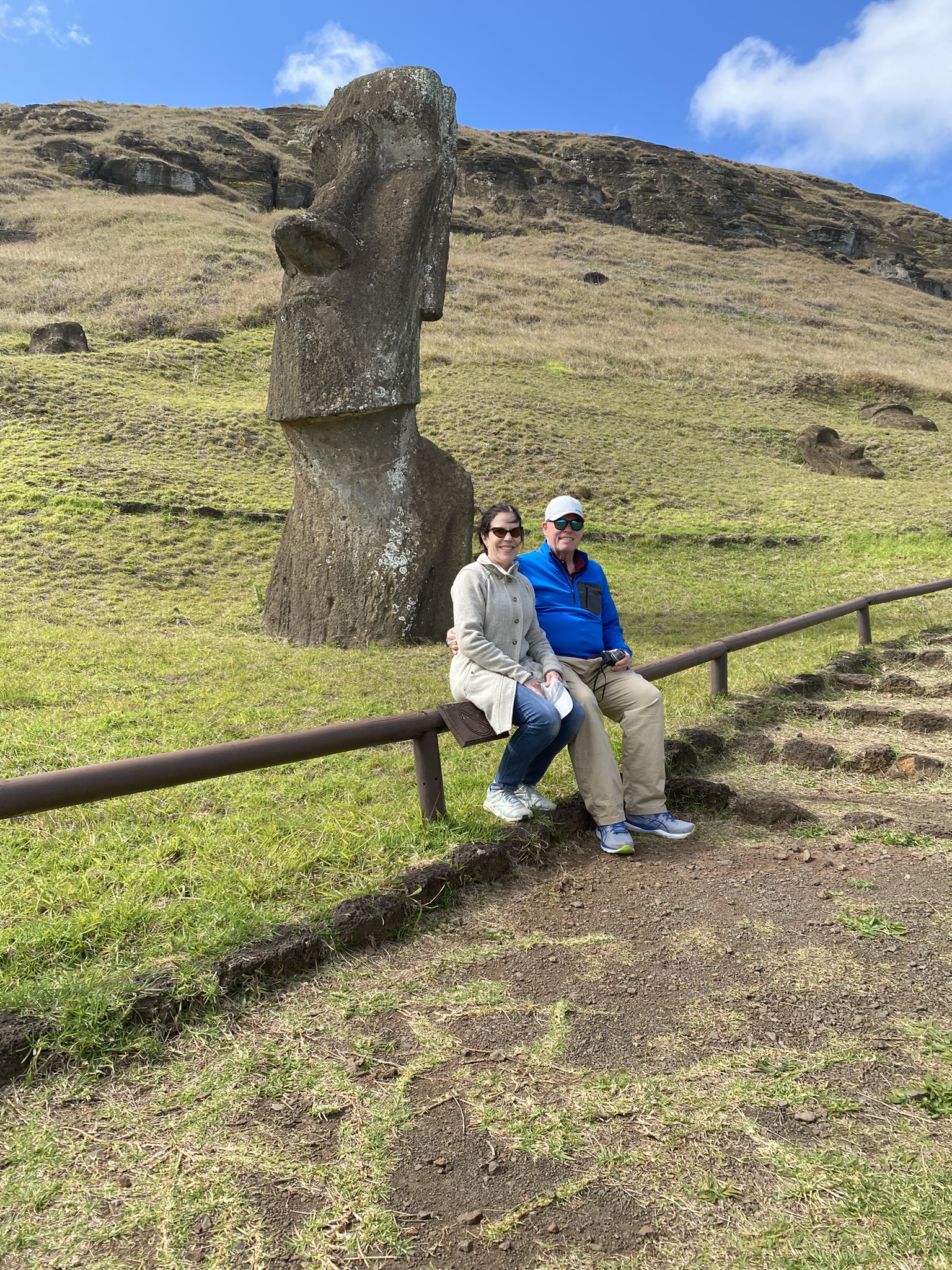
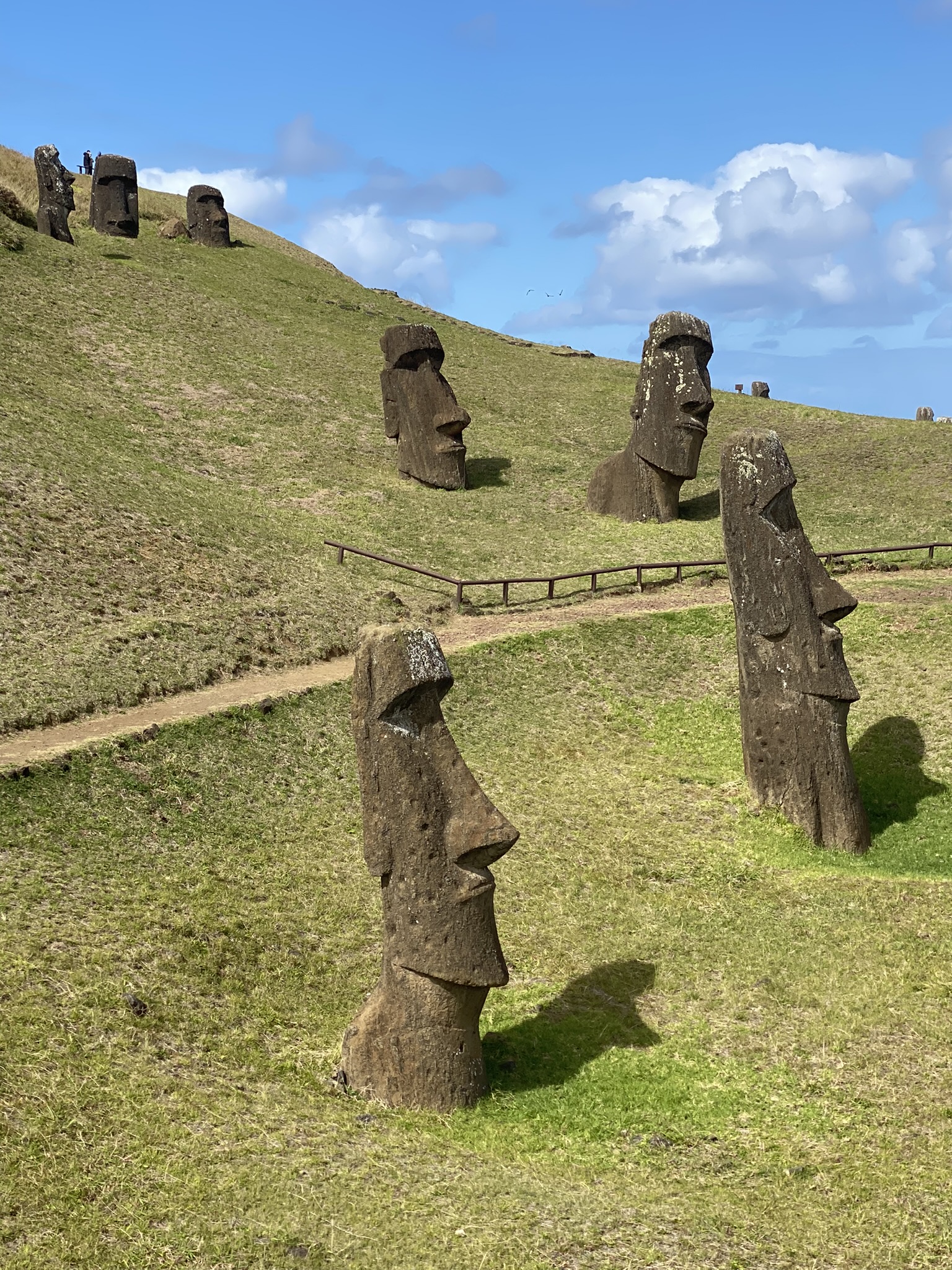
The Rano Raraku Quarry is possibly the most interesting and never to be forgotten site on the island. Located on the edge of the Terevaka volcano this is the quarry where all the moai were hand carved to be transported to their final destinations. Here you can find the moai in all stages of construction, from barely carved to fully completed yet abandoned on the side of a hill. It felt like we were looking at a moment frozen in time- like people walked away from their work and never returned. The only kneeling statue is found here. It is said to be a father kneeling in prayer after he lost his son in death.


Pu Ohiro– is a unique stone that was used as a musical instrument. The stone has a main hole through which it was blown producing a deep sound like a trumpet. Our guide called it a stone ocarina.

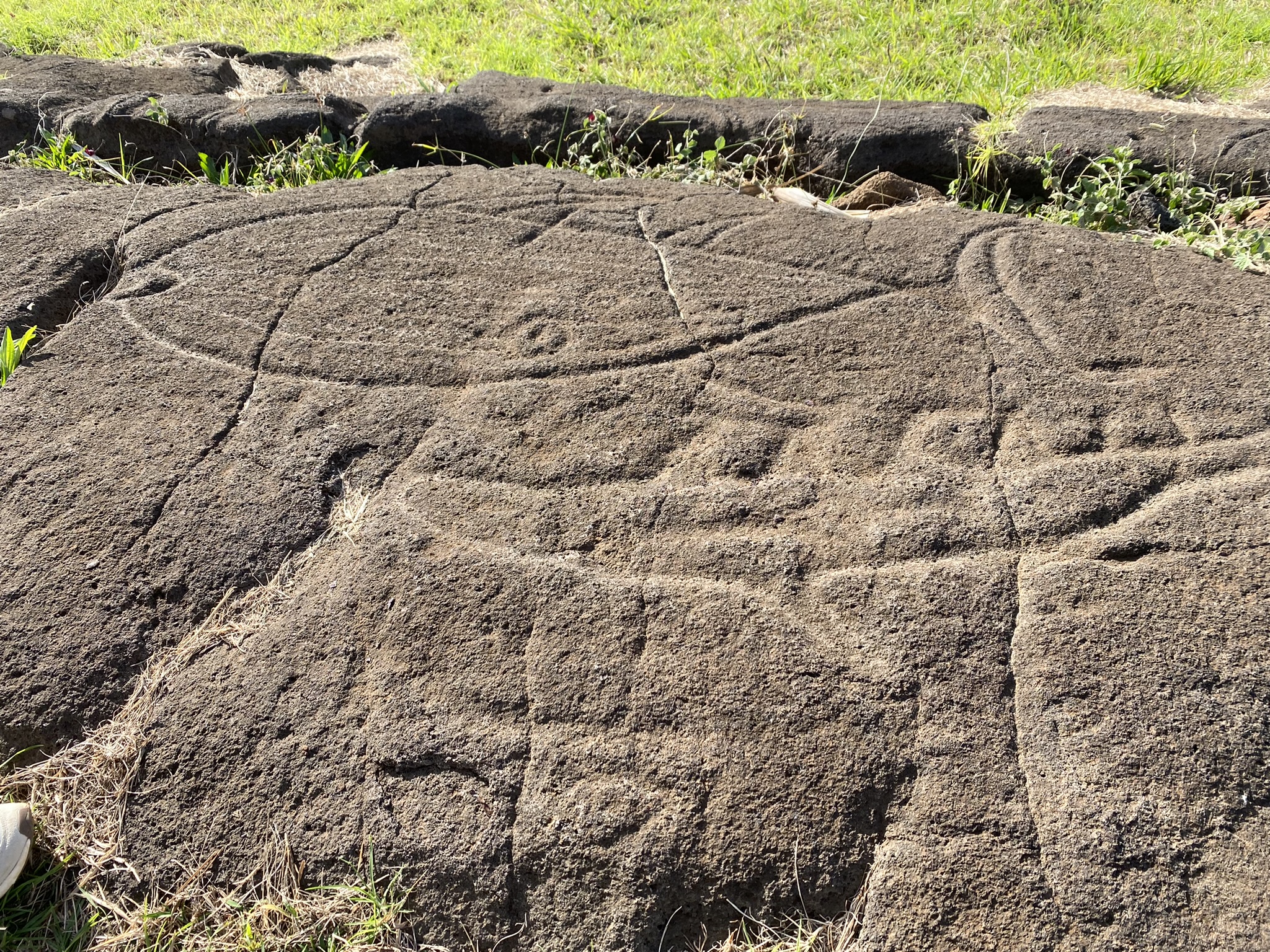
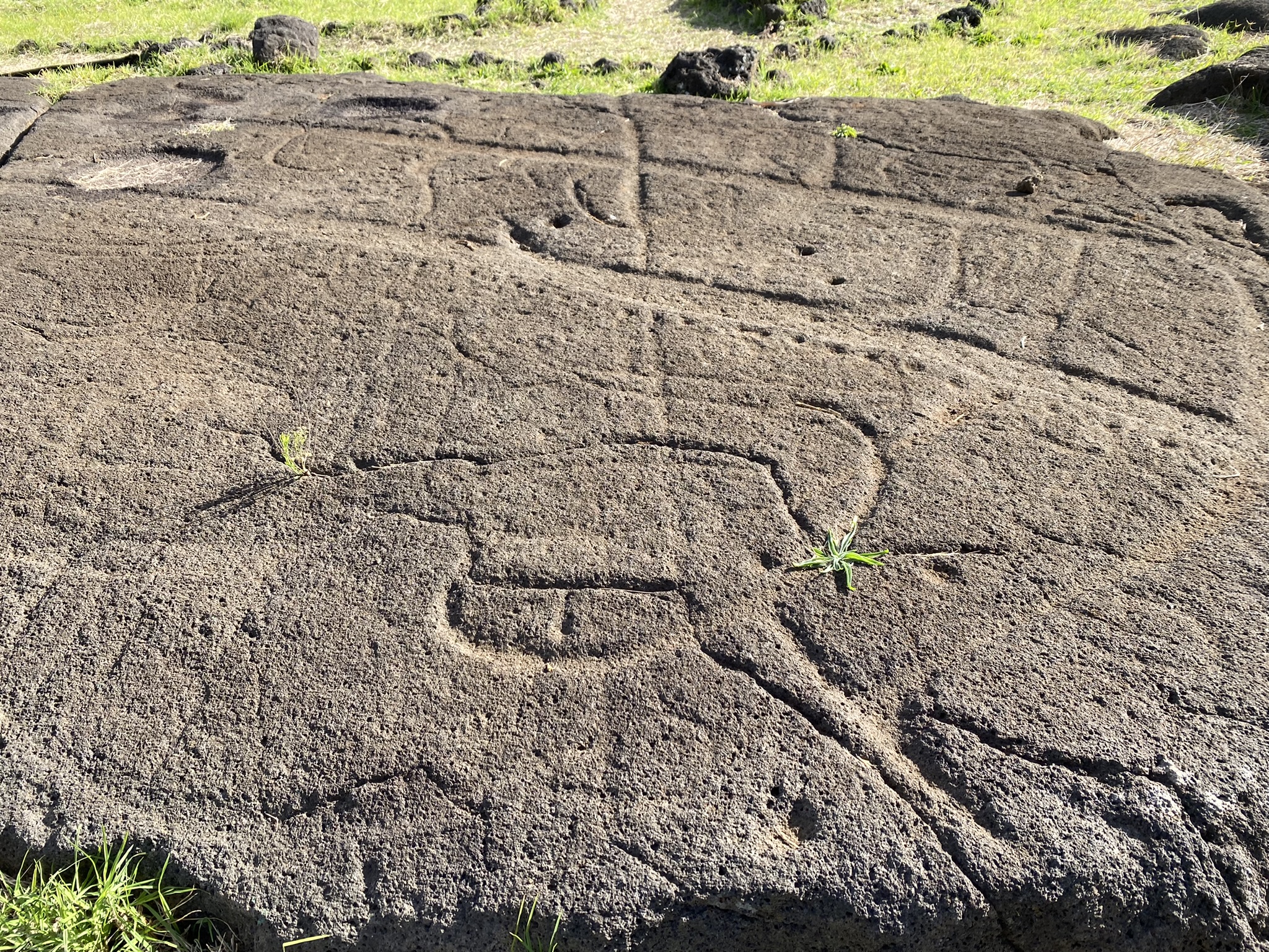
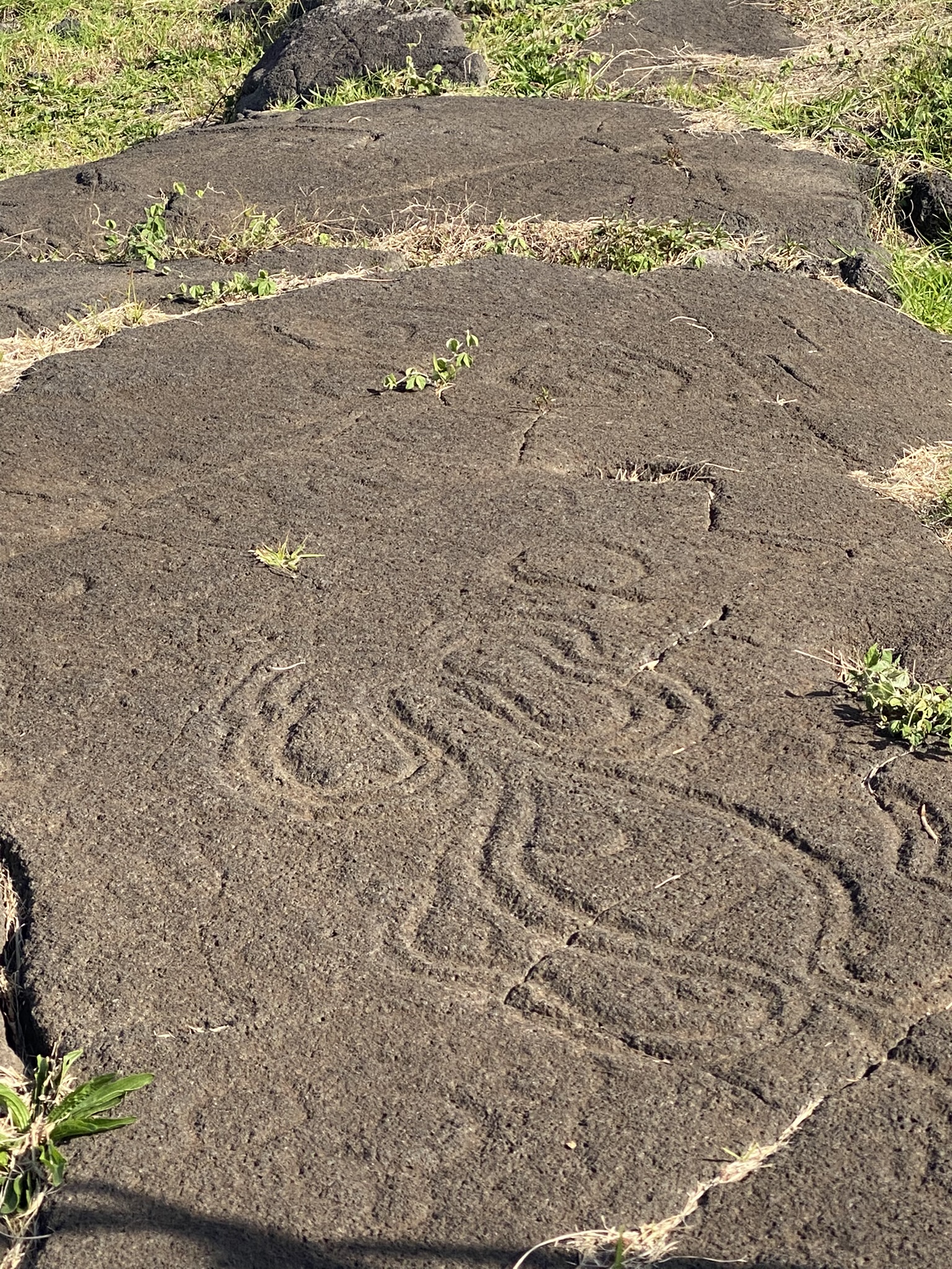
At Papa Vika we saw petroglyphs referring to sea life. Here was saw a fishing map, many sea creatures, and a three-point triangulation system to help them find good fishing locations depending on the season of the year.
Te Pito Kura– Easter Island is known as the navel of the world possibly because of its volcanic style and its isolated position. According to legend, the stone was brought by the legendary king Hotu Matua, the first chief and original cultural founder of Easter Island. This particular kind of rock is not native to the island.
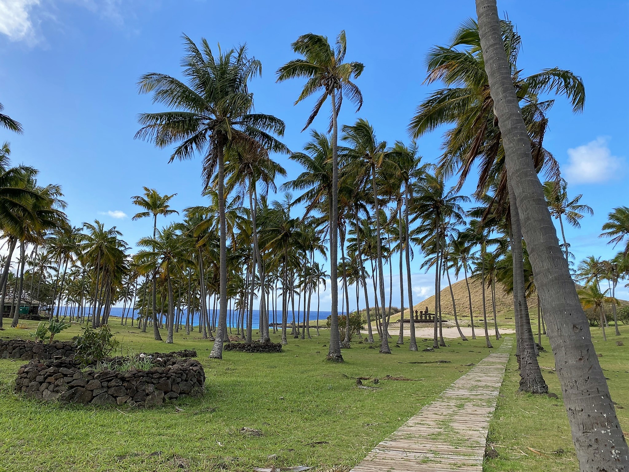
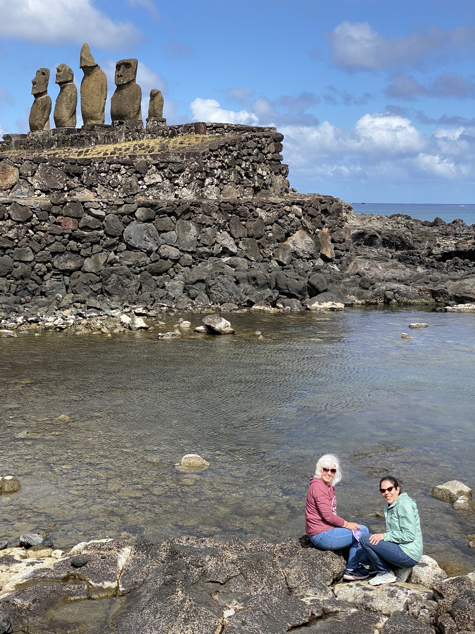
Ahu Nau Nau on Anakena Beach is a restored platform site with 7 moai.
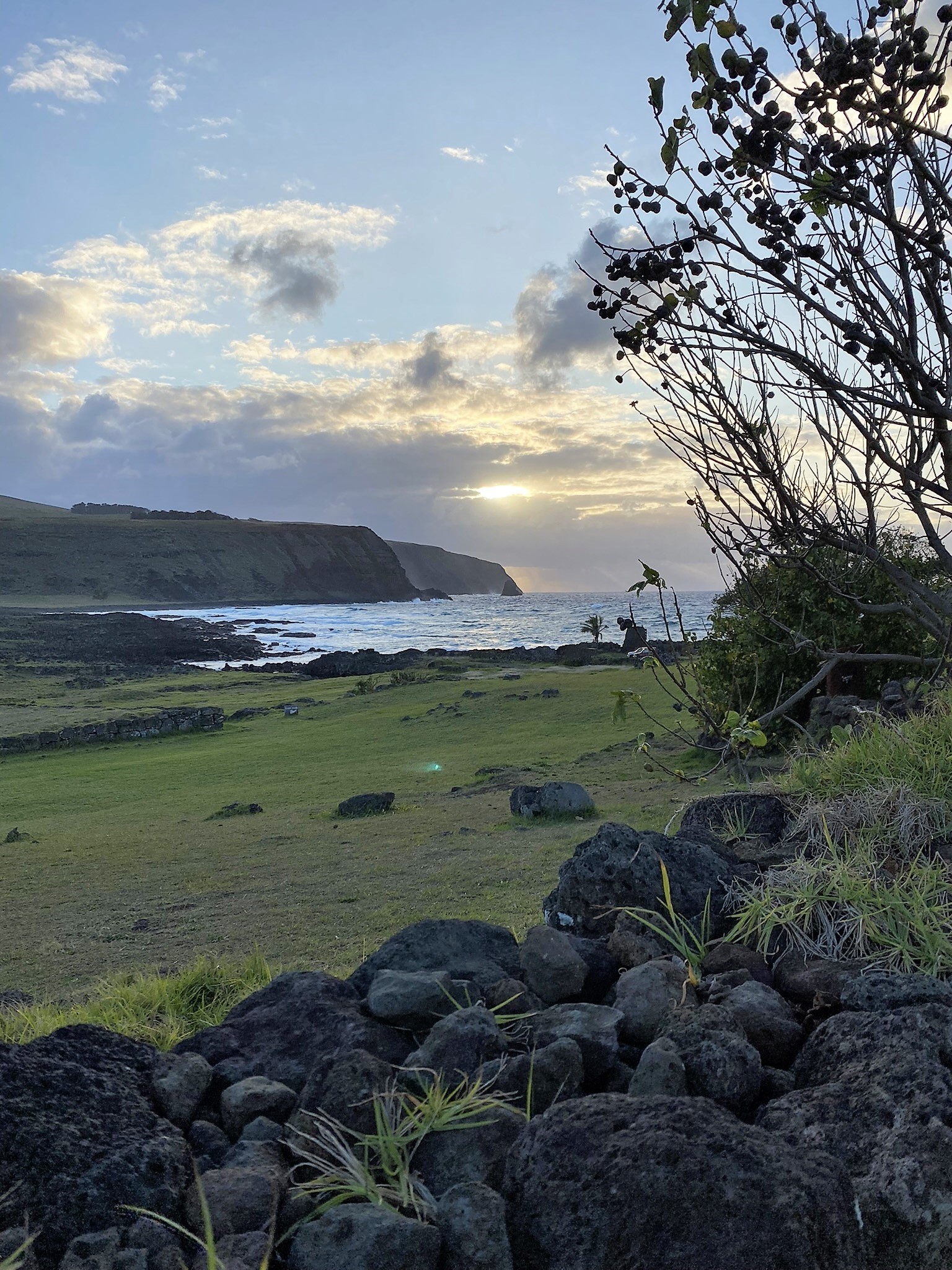
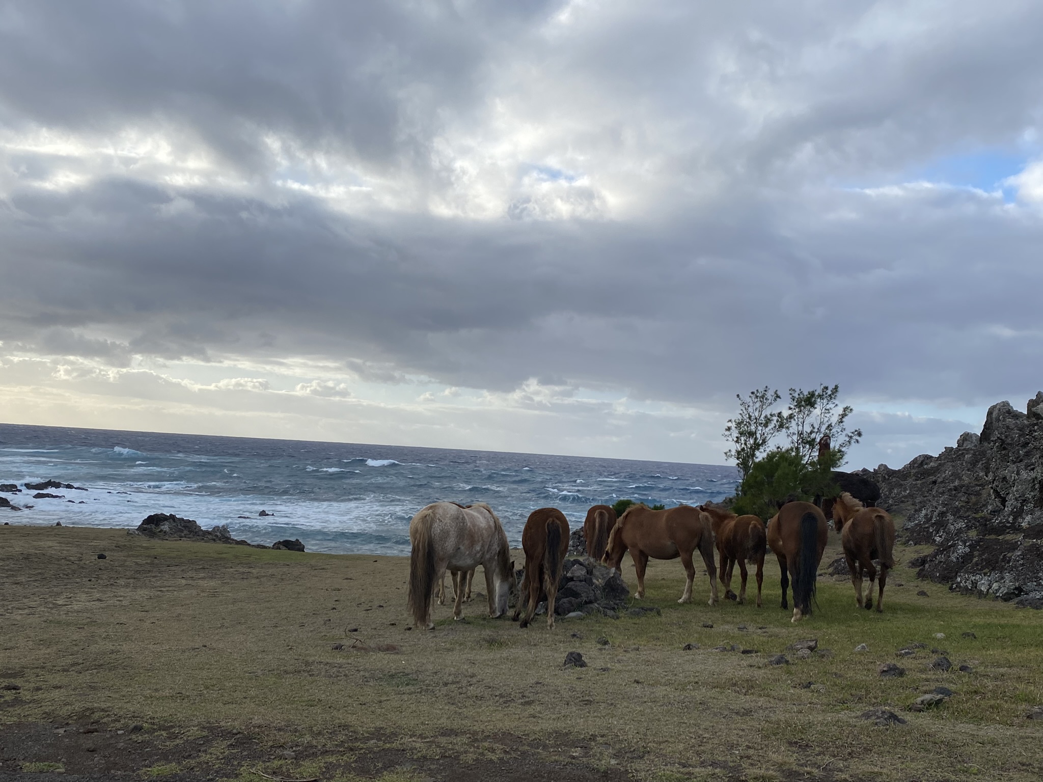
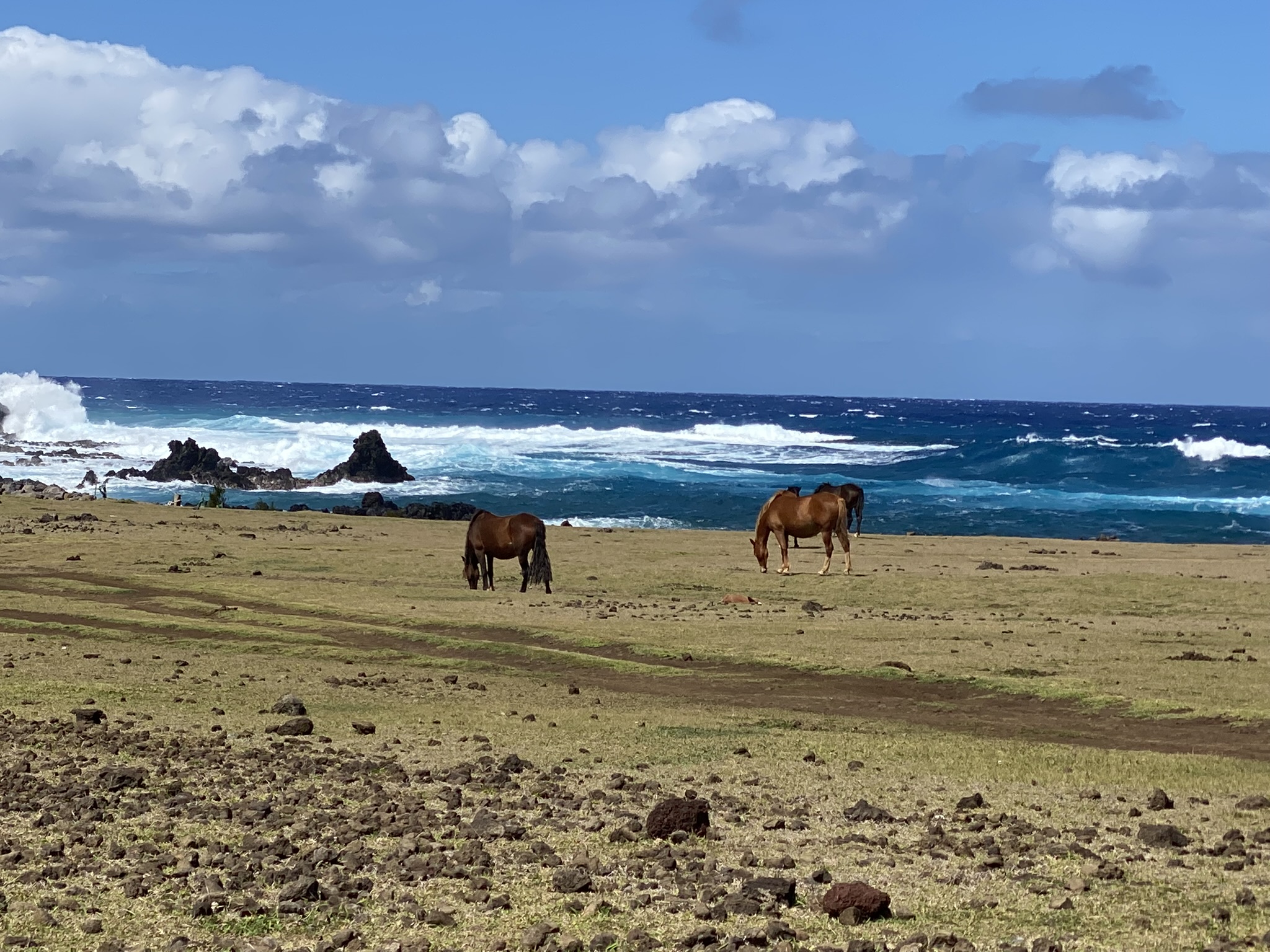
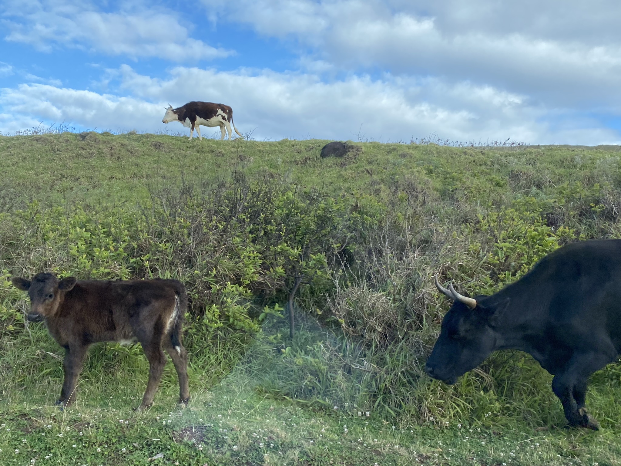
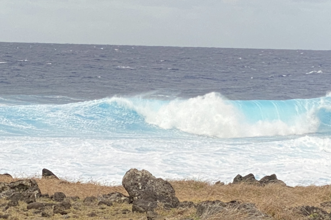
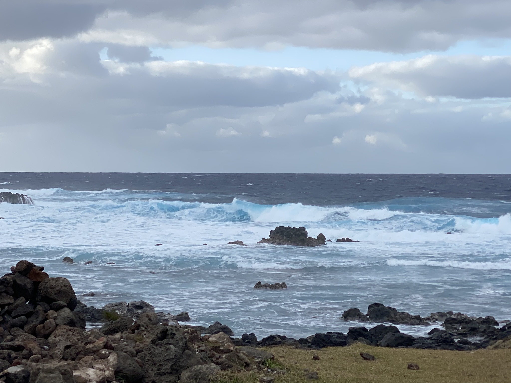
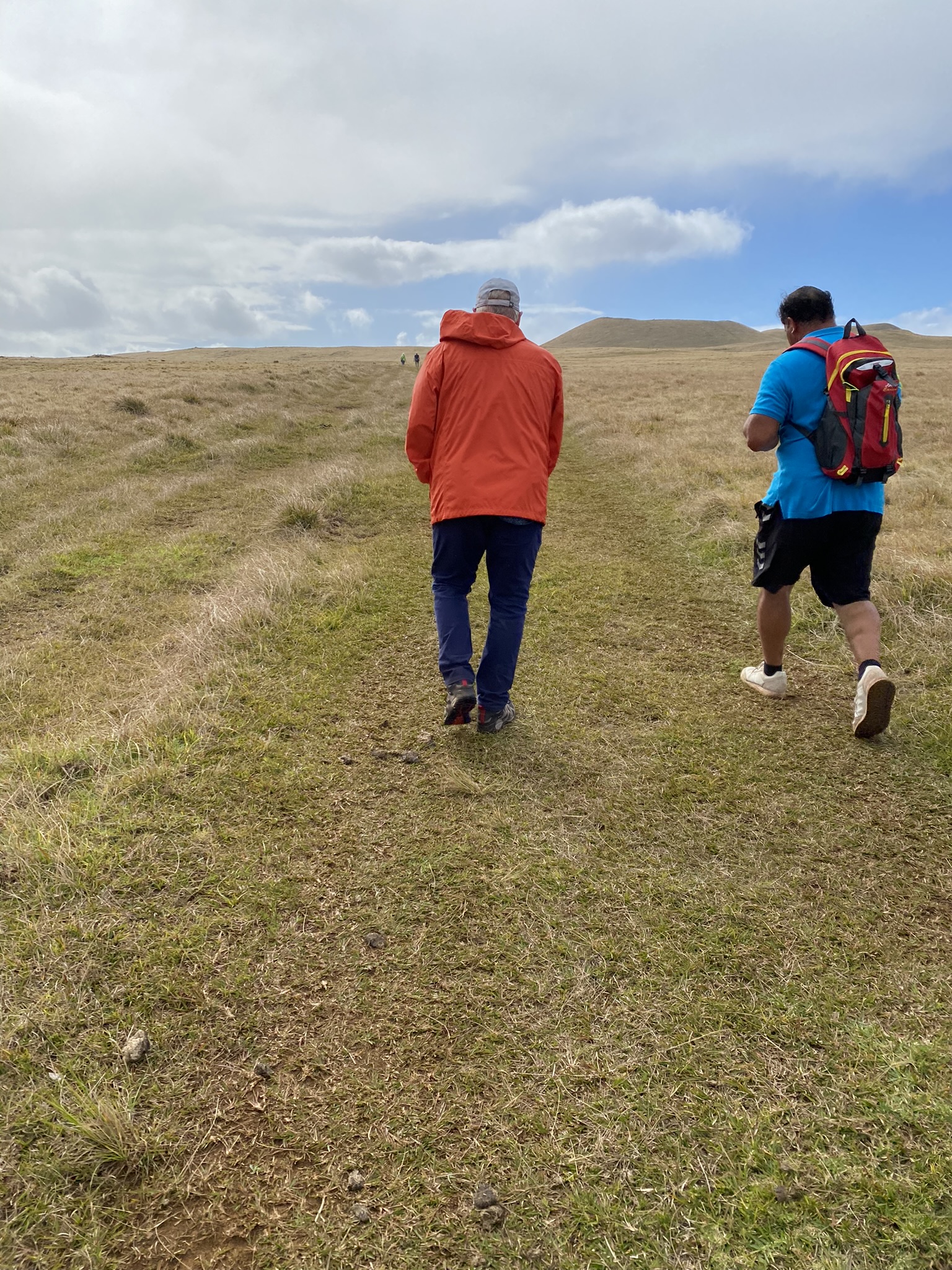
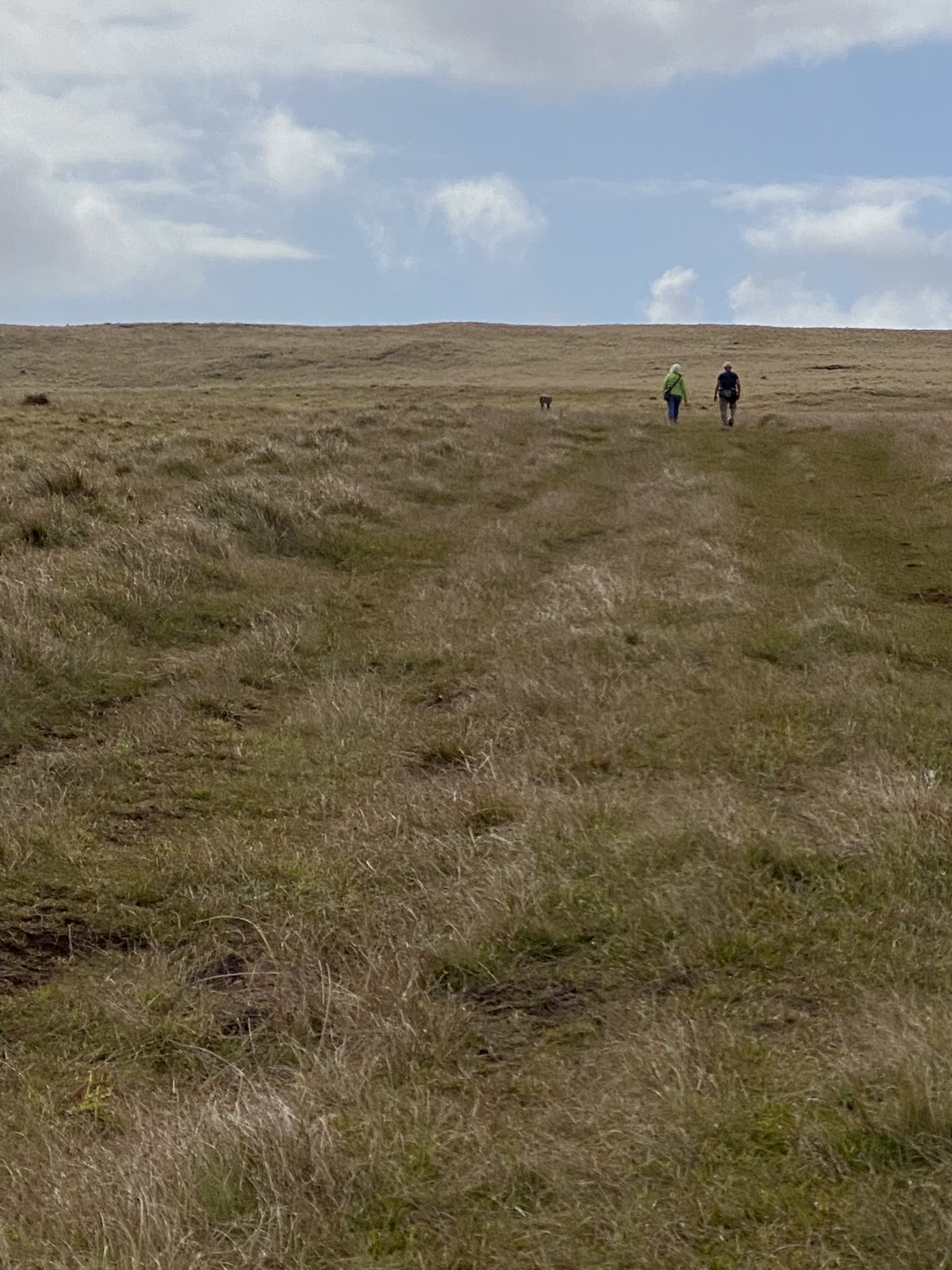
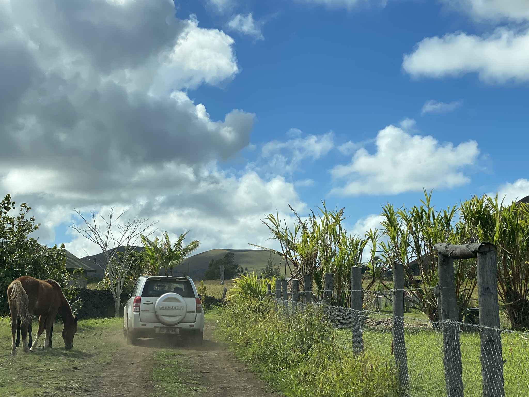
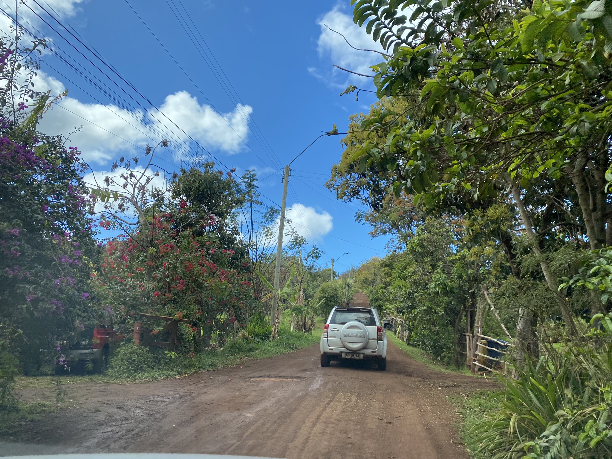
As we drove around the island, we saw beautiful coastal views of crashing waves. Free range horses and cows roam the island. Until 1970 there were no cars on the island. Everyone traveled by horseback.


The Father Sabastian Englert Archaeological Museum provided us great information about the island’s history.
The Ahu Tahai archaeological site was restored in 1974 by American archaeologist William Mulloy. One of the Moai here has restored eyes. This ceremonial village has some restored homes and a ramp and dock made of lava rock. Watching the sunset at this location was a memorable moment.


Ahu Akivi is the only place on the island where the Moai face the ocean rather than the village. They are looking to where they came from. The Moai face the point where the sun sets during equinox which also aligns with the moon with astronomical precision.
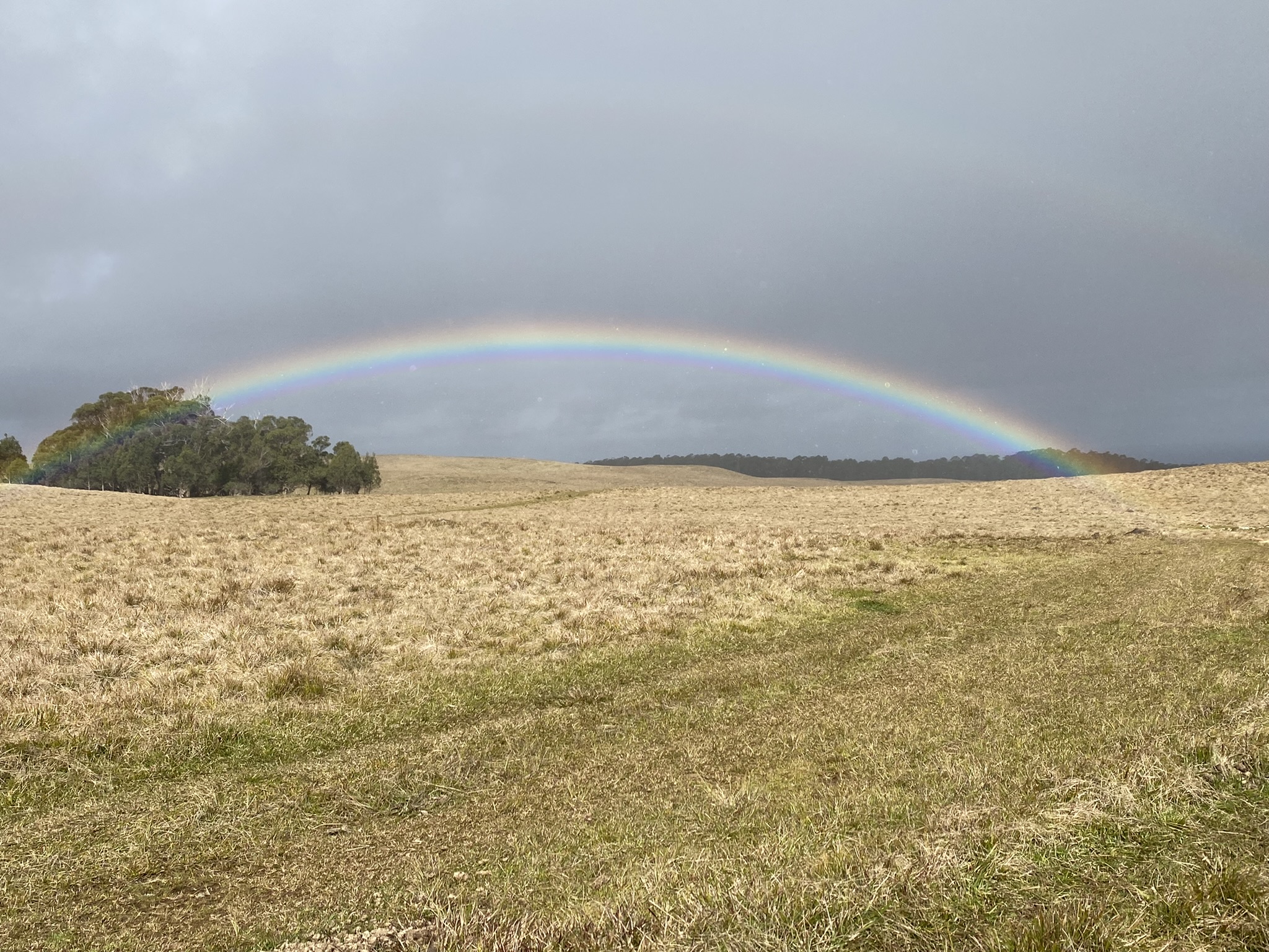
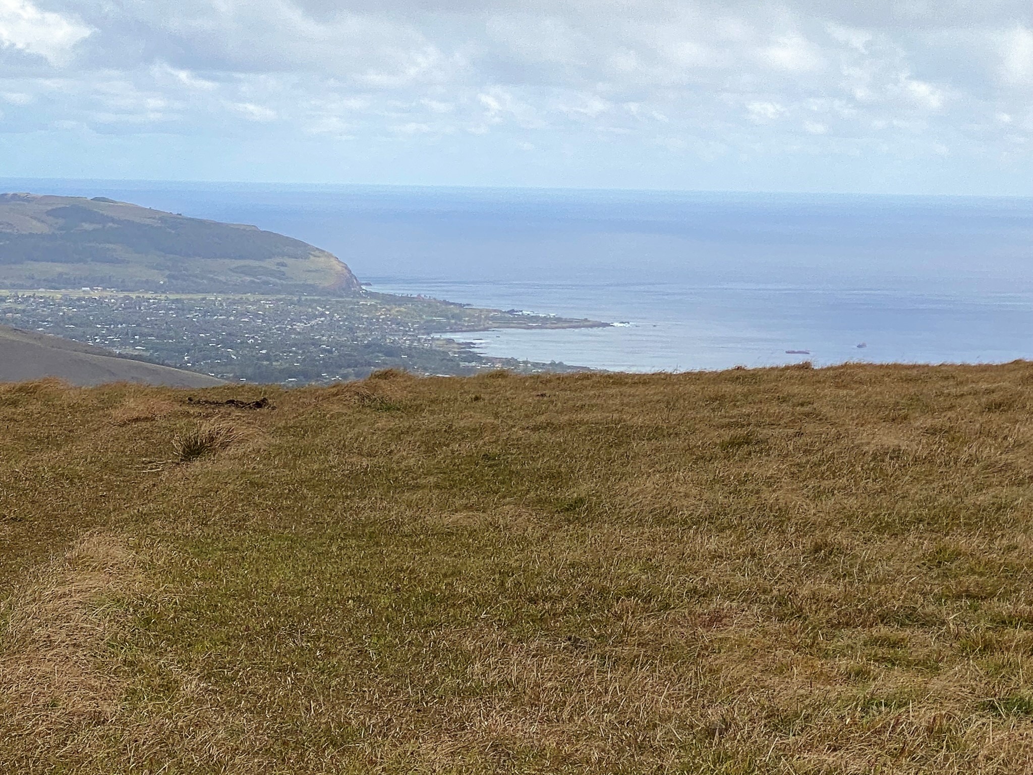
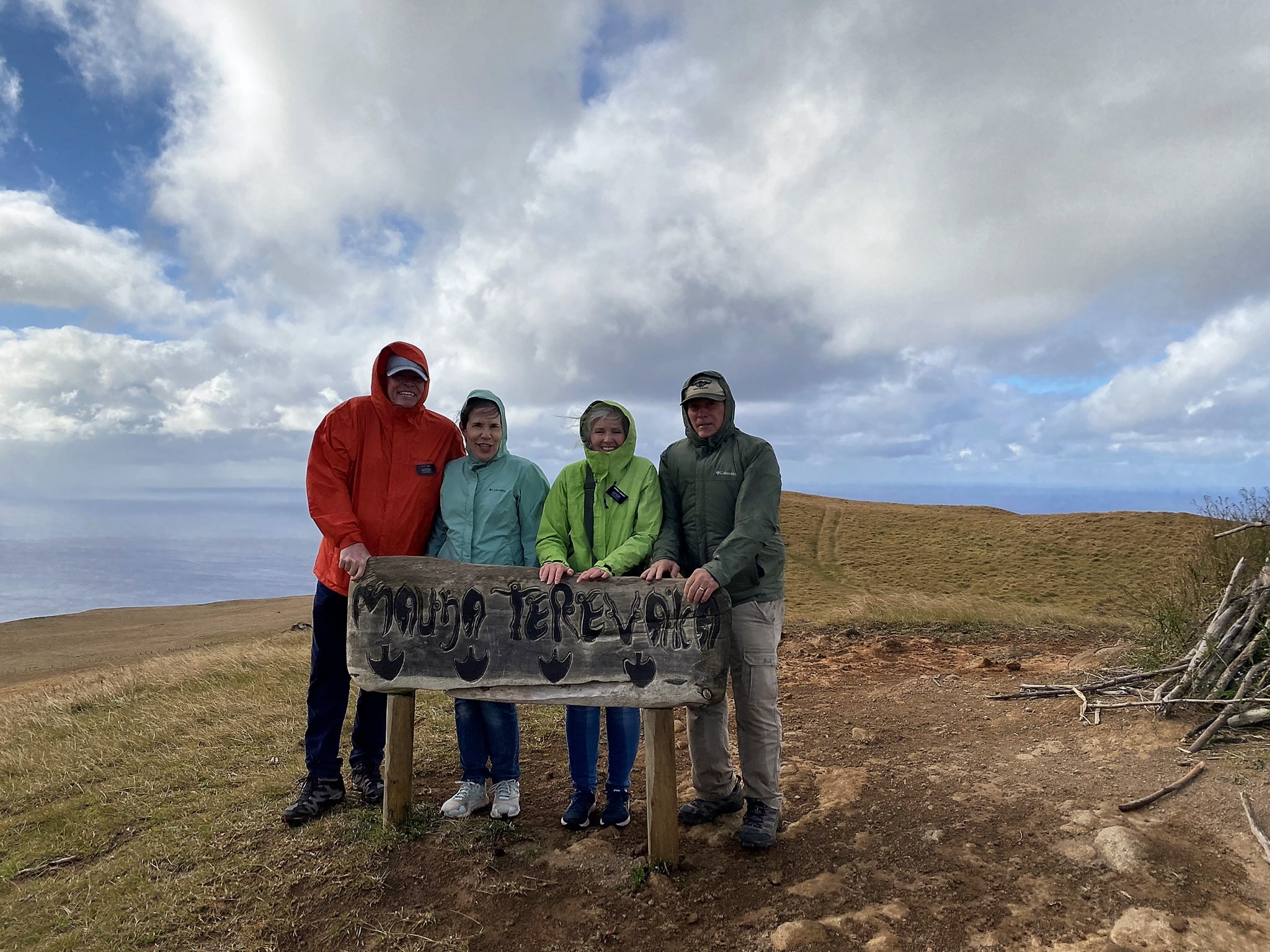
We made the three hour round trip, 6 ½ mile hike up the Maunga Terevaka volcano, the youngest of the three main extinct volcanos that form the island. Intermittent rain showers and a lot of wind followed us as we climbed. There was a beautiful rainbow that appeared for a few minutes and encouraged us onward. At the top, we stood on the highest point on Easter Island. At 511 meters (1,676 ft) its summit offers a 360 panoramic view of the island and surrounding ocean.

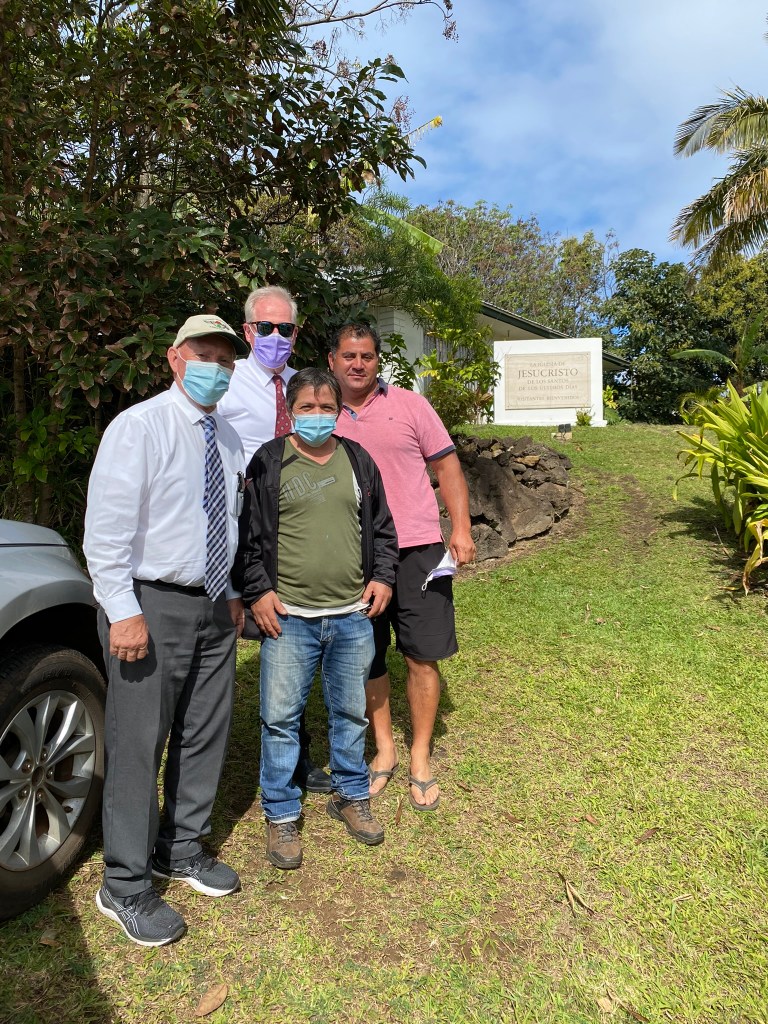
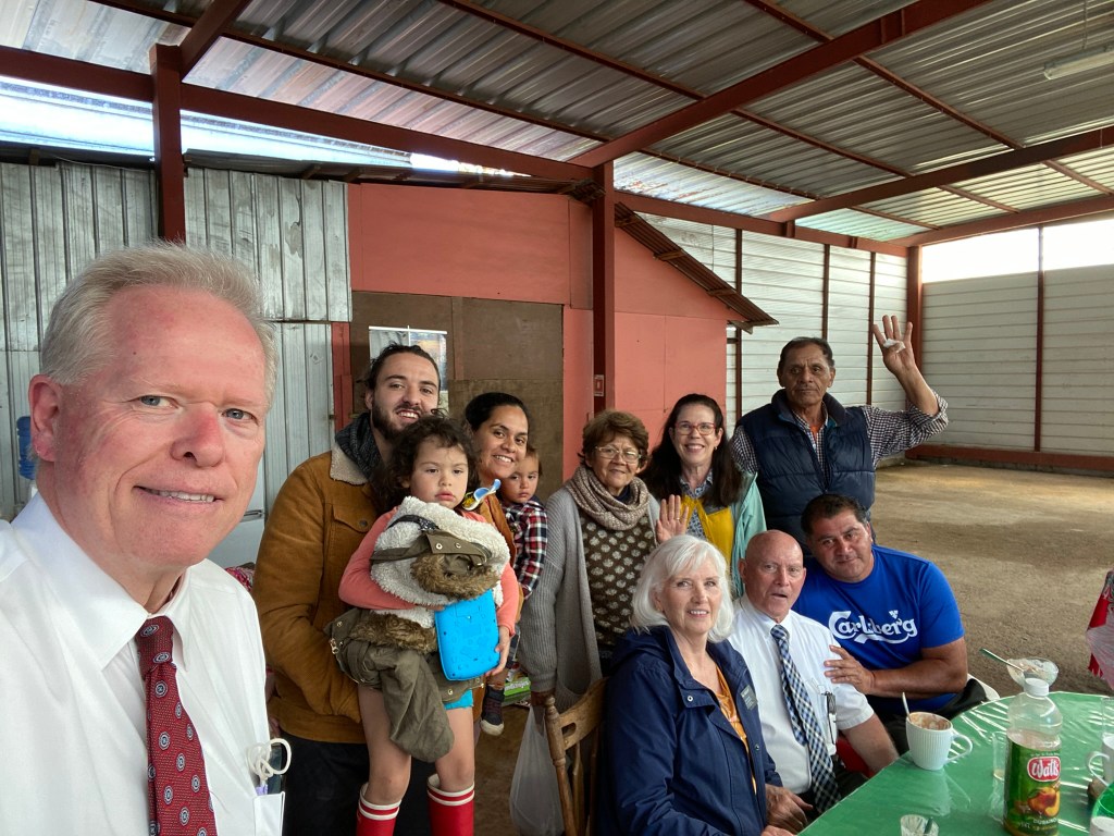
DAYS 3 & 4
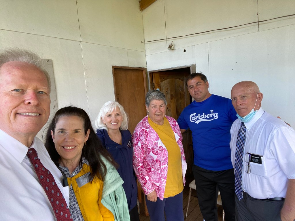
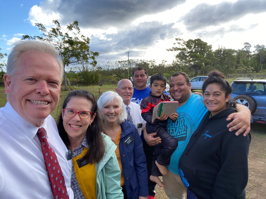
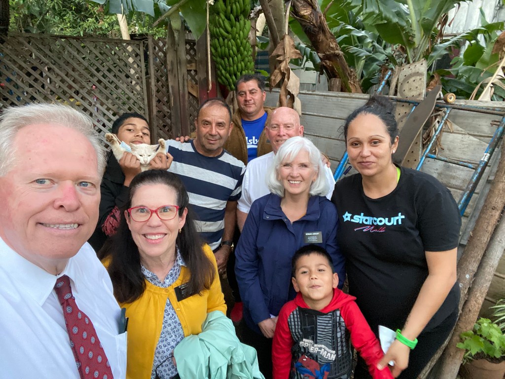
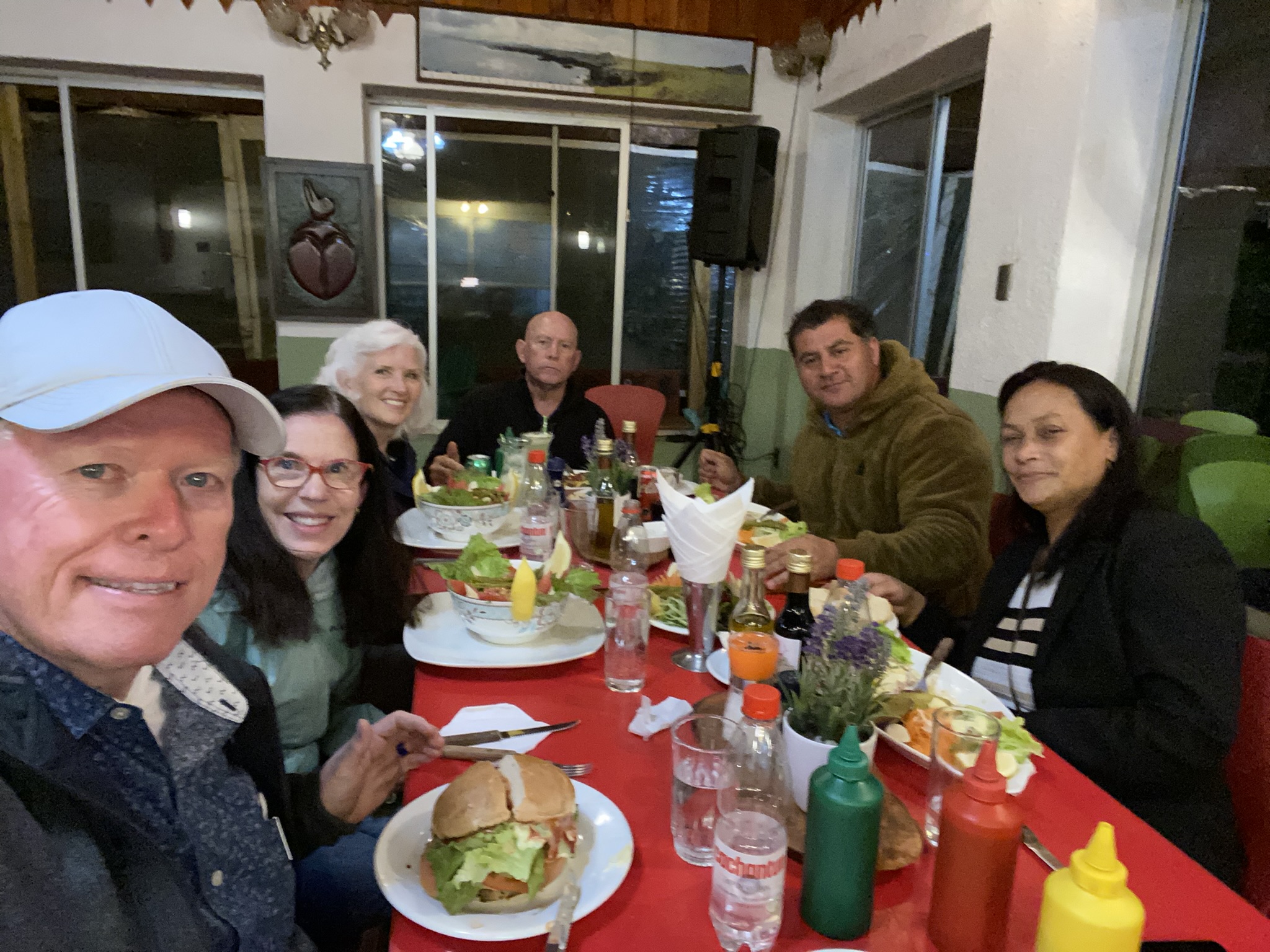
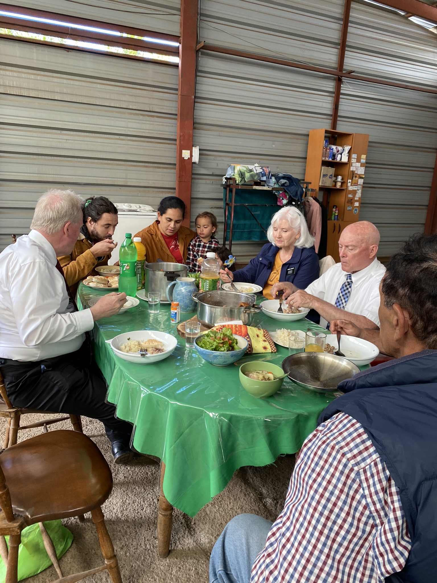
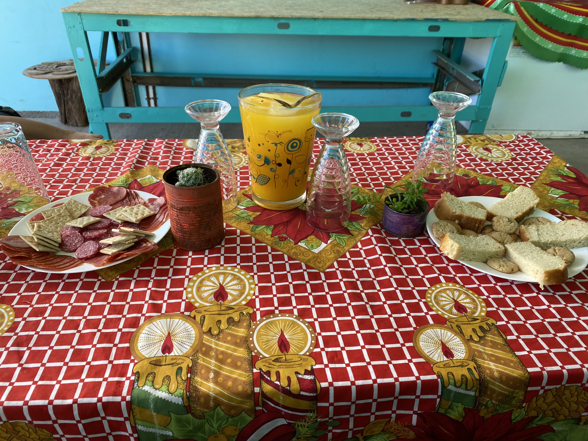
We had the privilege of being invited into the islander’s homes. They shared their food, their thoughts, and their hearts with us. Mana, in the Rapi Nui culture represents the creative energy that is the origin of everything, a vital force that is still felt on the island. In our words, we connected spirit to spirit in a very strong and impressionable way.

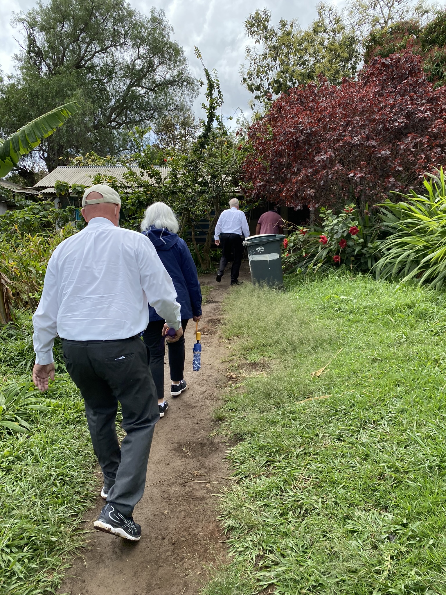

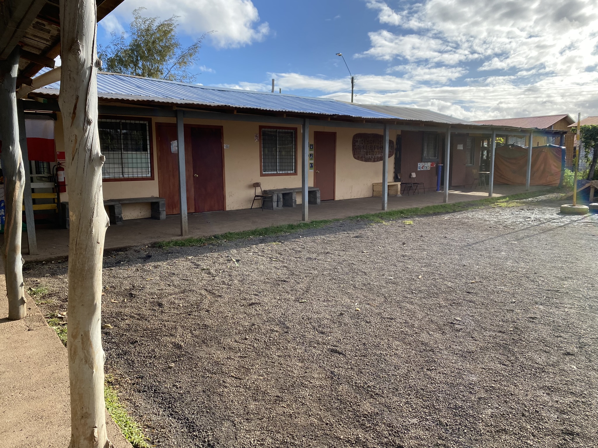
HUMANITARIAN PROJECT VISIT
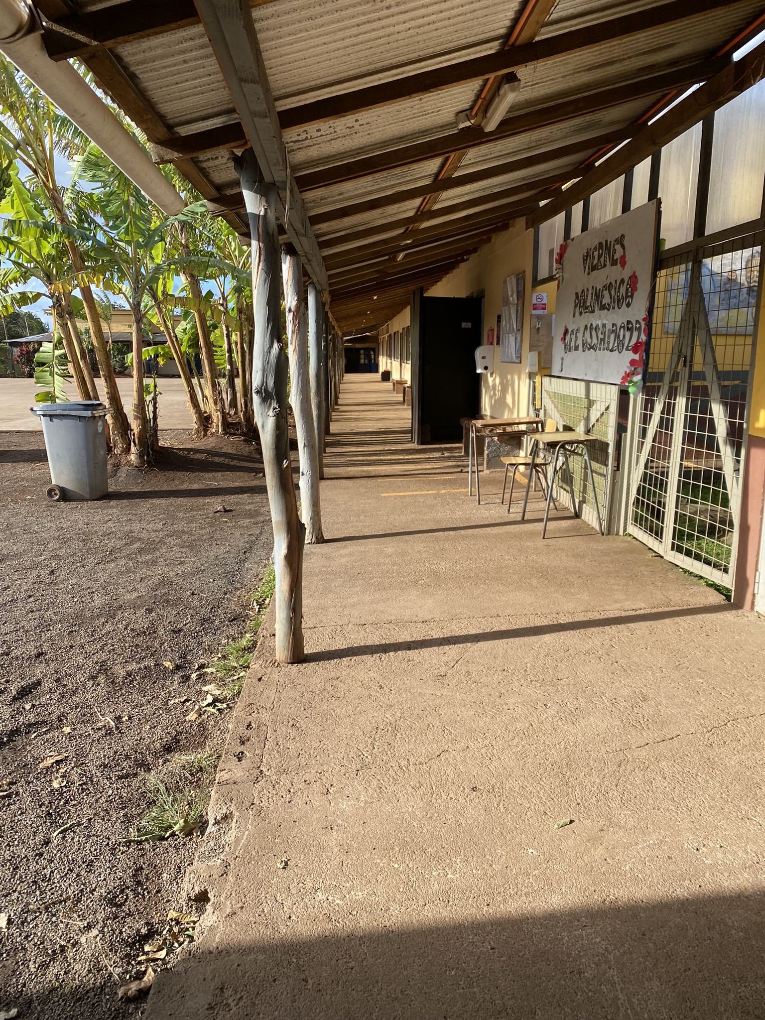
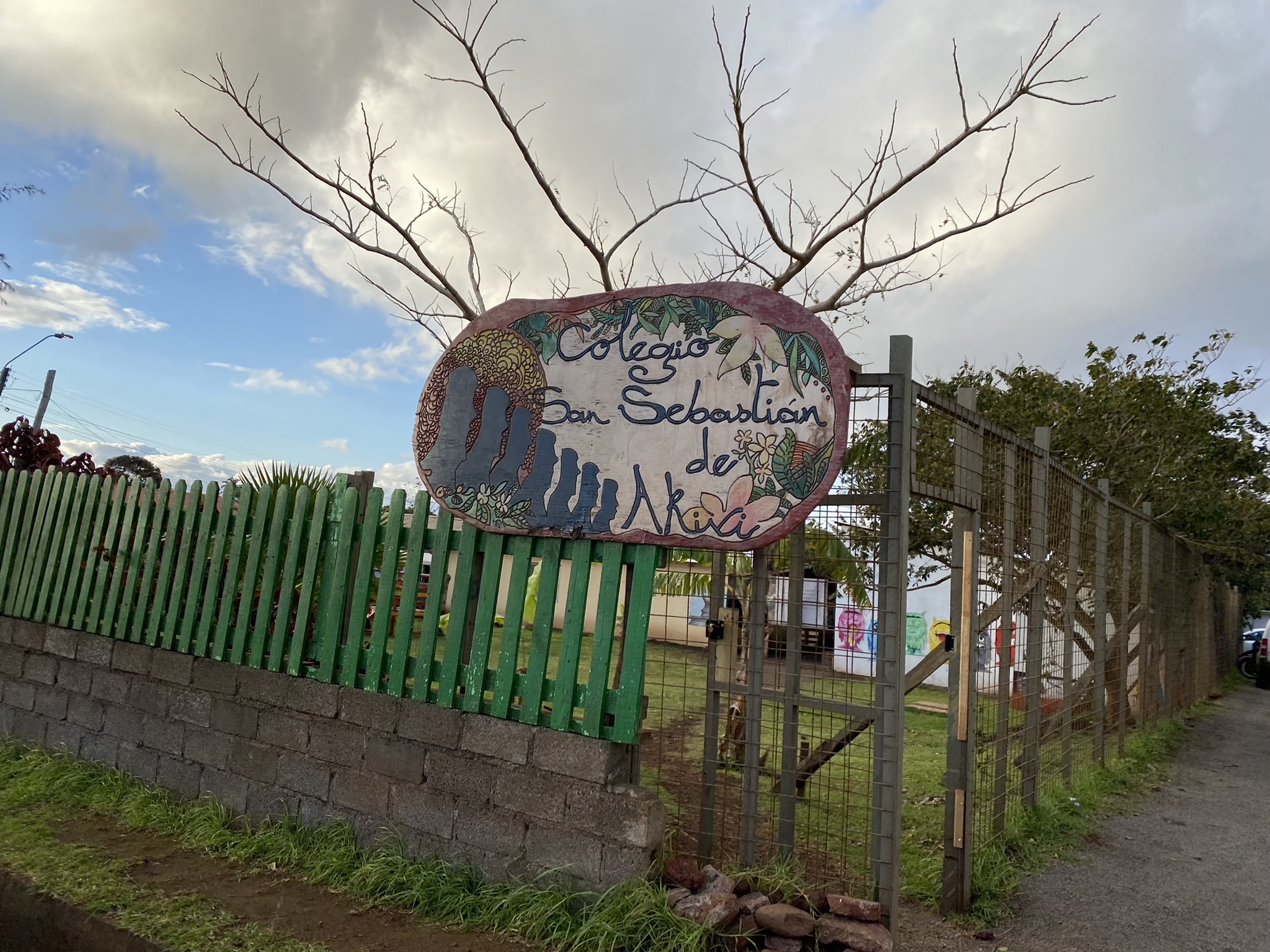
We followed up on a solicitude we received last year from the San Sabastian de Akivi School. The island only opened it’s borders two weeks ago since they closed in 2020 due to COVID. We came as soon as we were able.

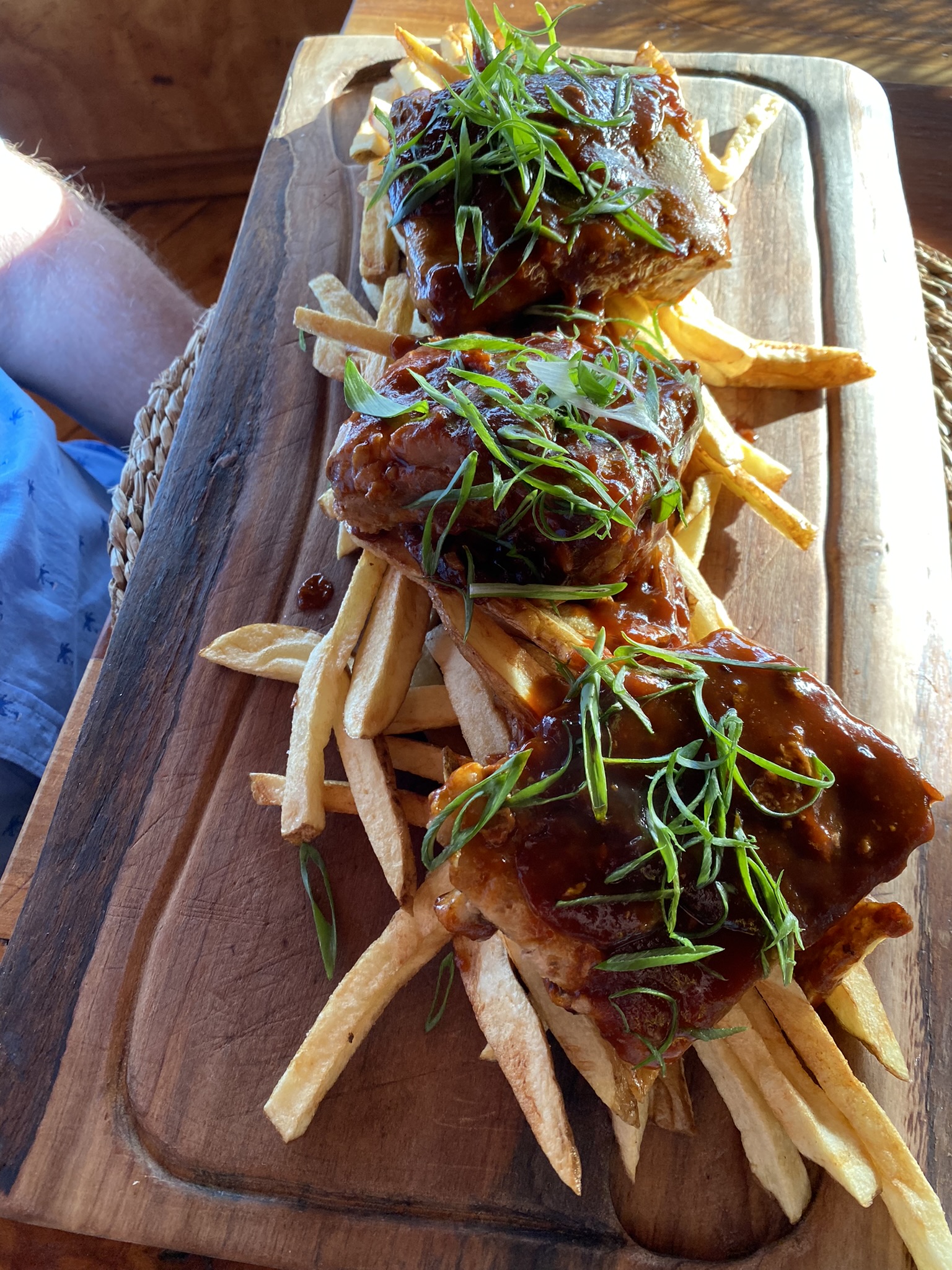
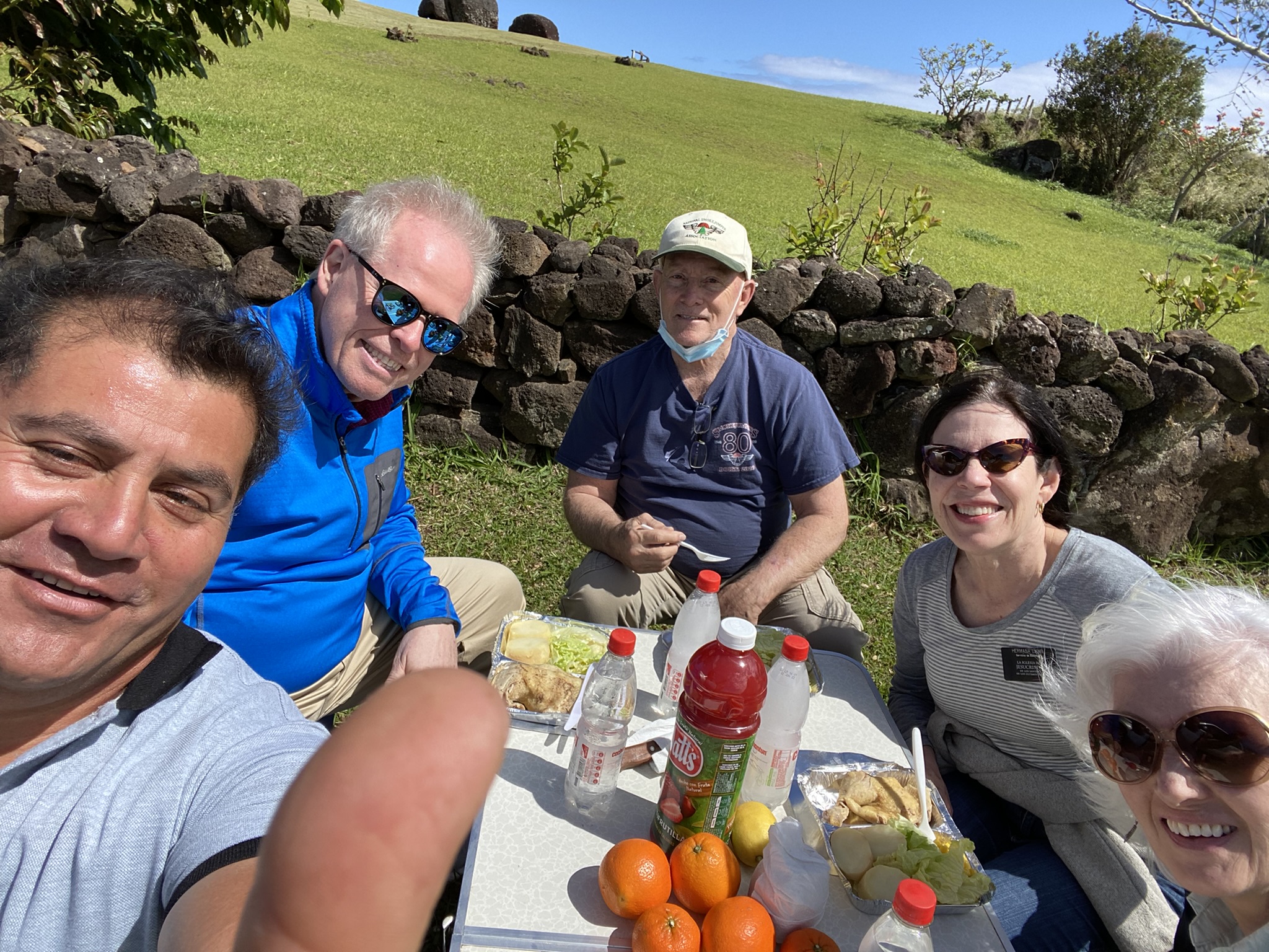
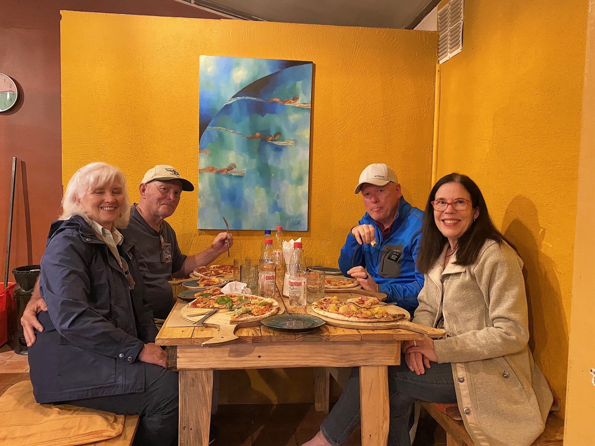
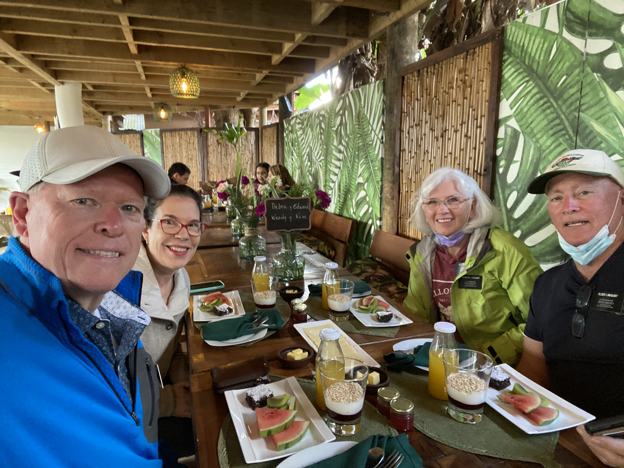
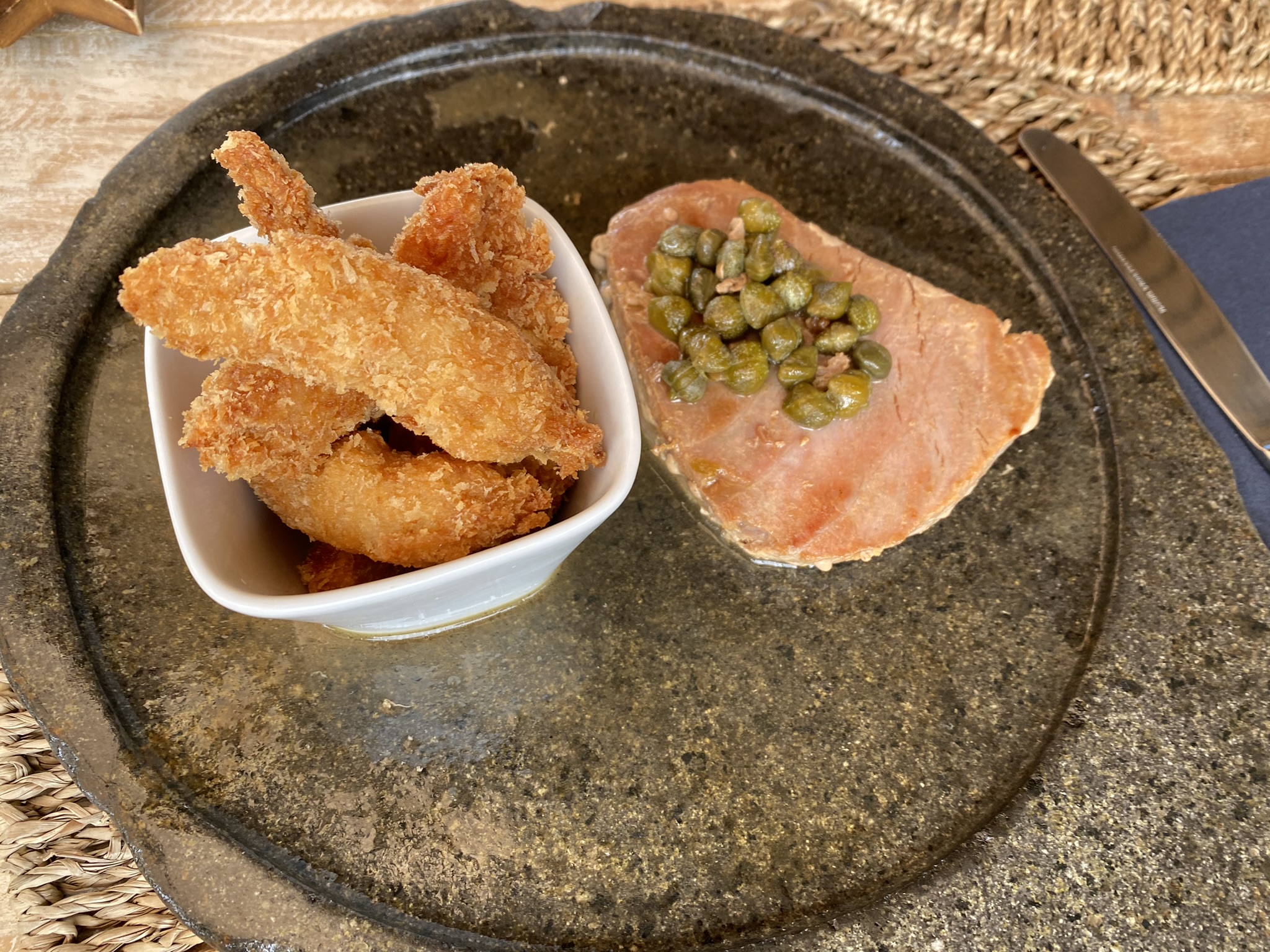
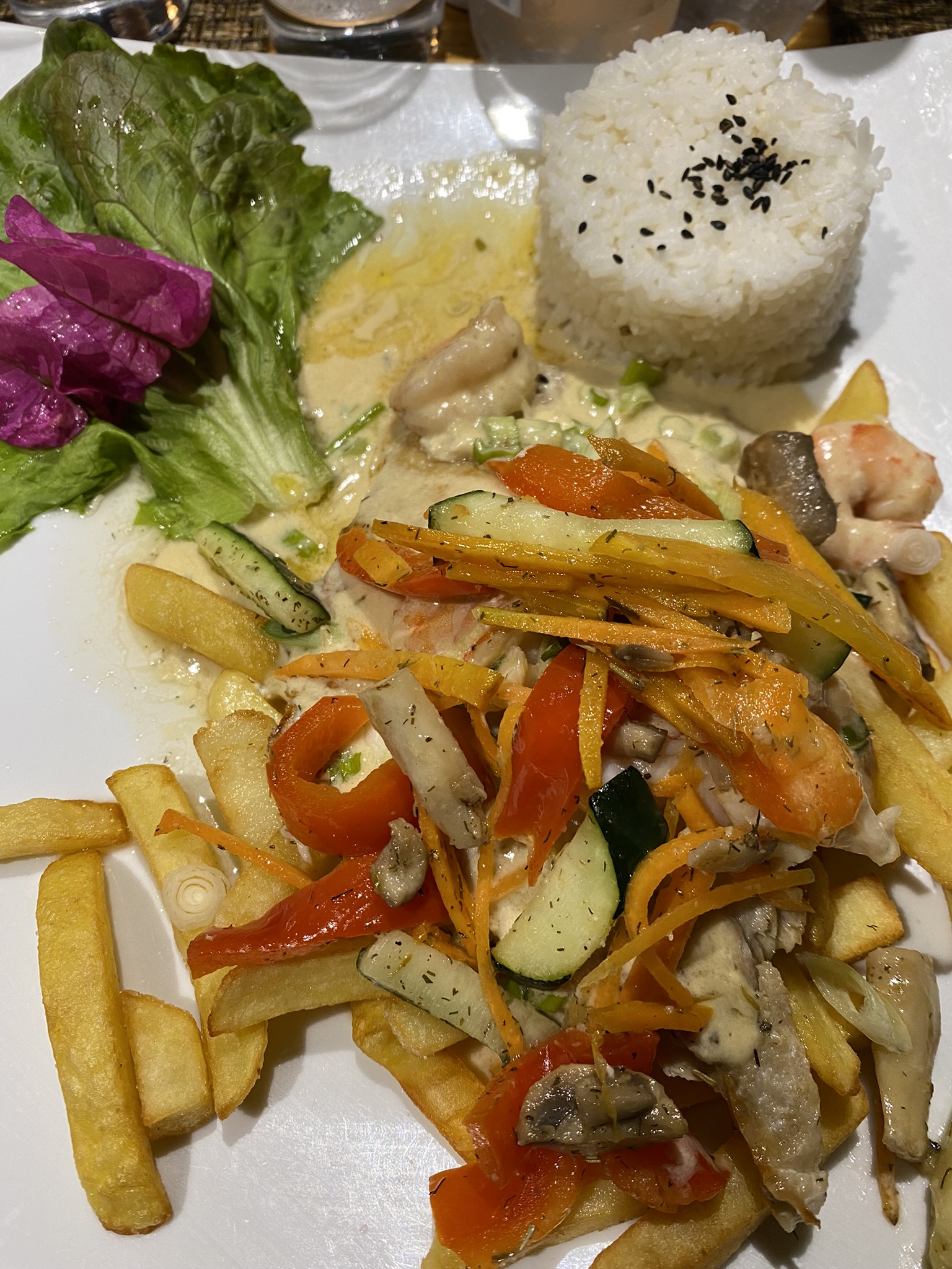
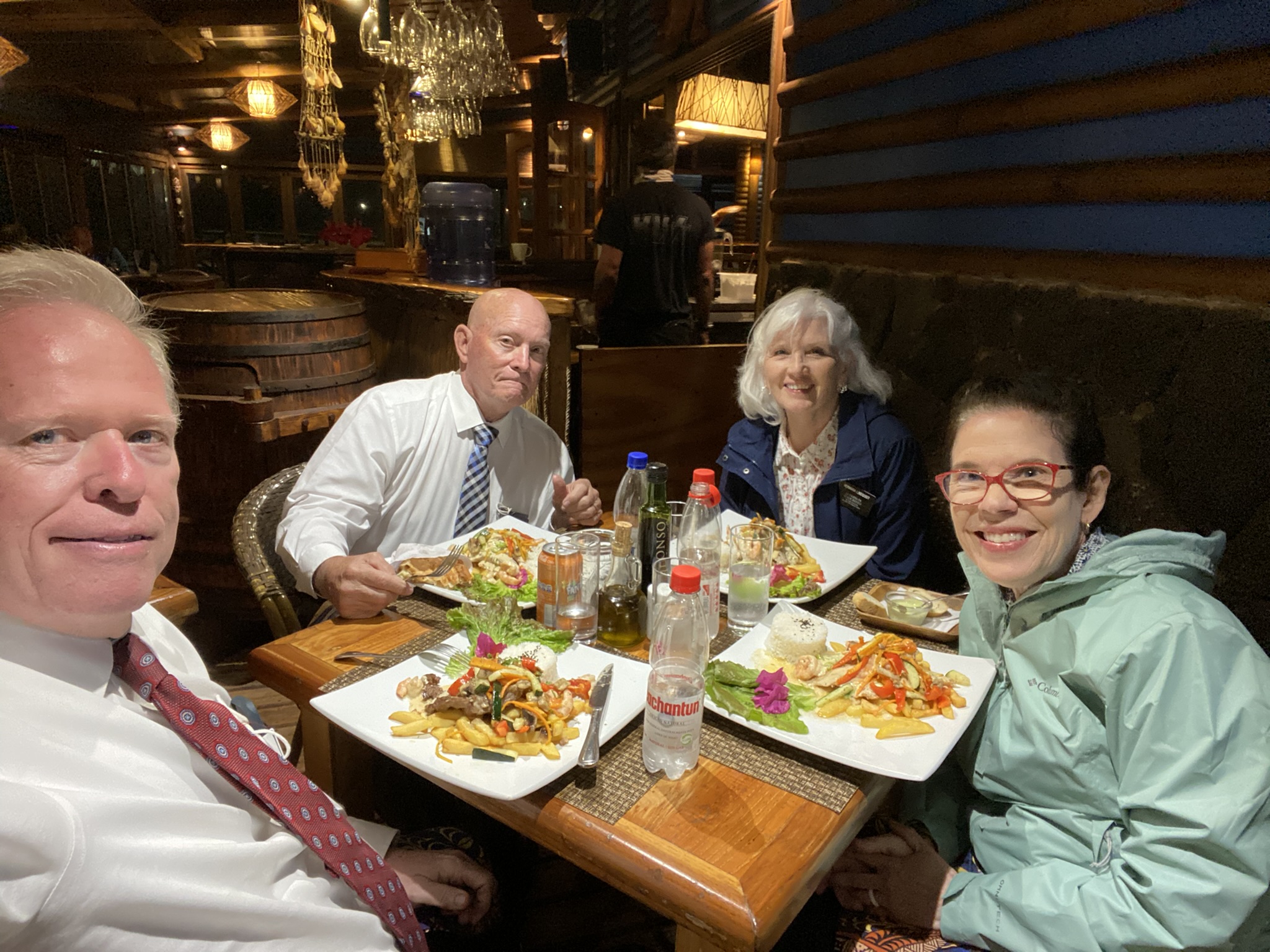
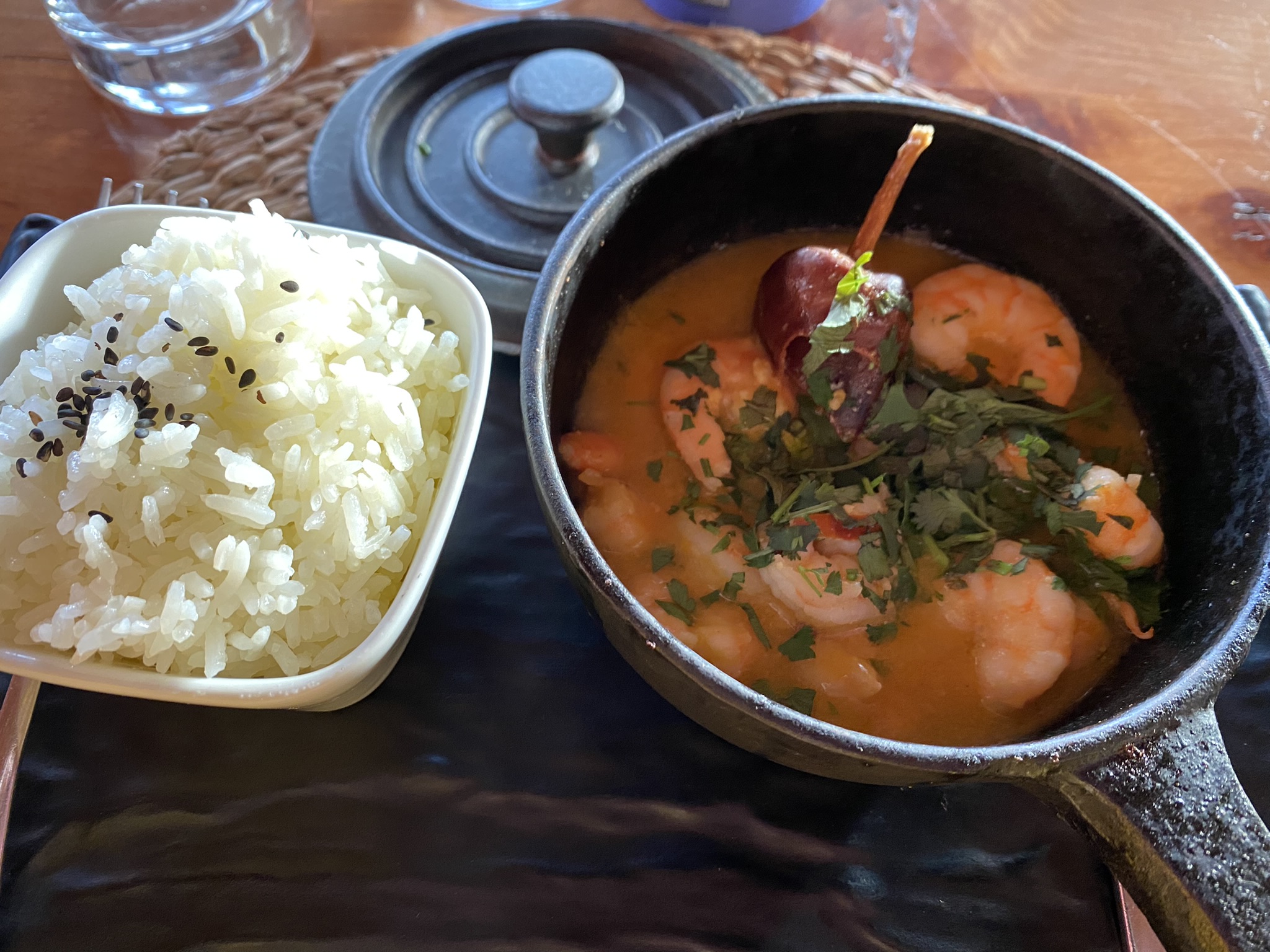
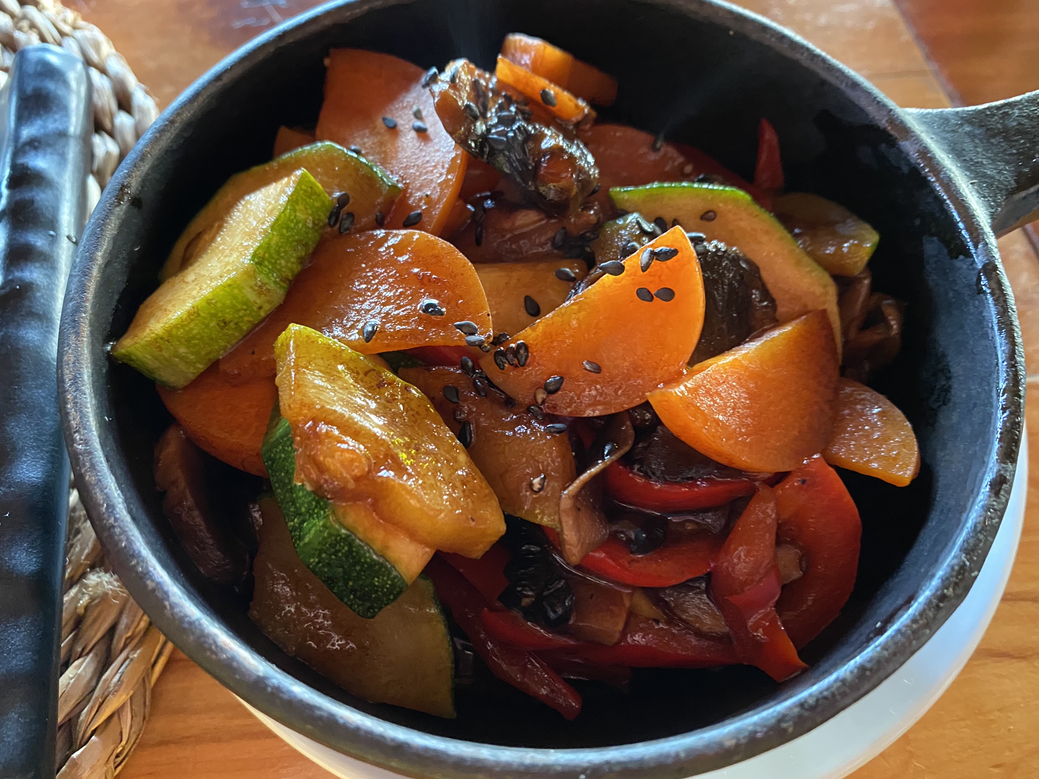
EATS ON EASTER ISLAND
We experienced the delicious food of the island in restaurants, in homes and on picnics with our guide. The different fish dishes were delicious. And the breakfasts at our hotel were divine.


What an amazing week! It will live in our memories forever. “Iorana” like “Aloha” is a word that is used for greeting or parting. And so, we say Iorana to Isla de Pascua and our new friends there- Iorana until we meet again.
Abrazos, Élder y Hermana Lamb, (aka Ed & Debbie, Mom & Dad, Pop Pop & Tu Tu)
